Medium airport · United States
Eastern Sierra Regional AirportKBIH
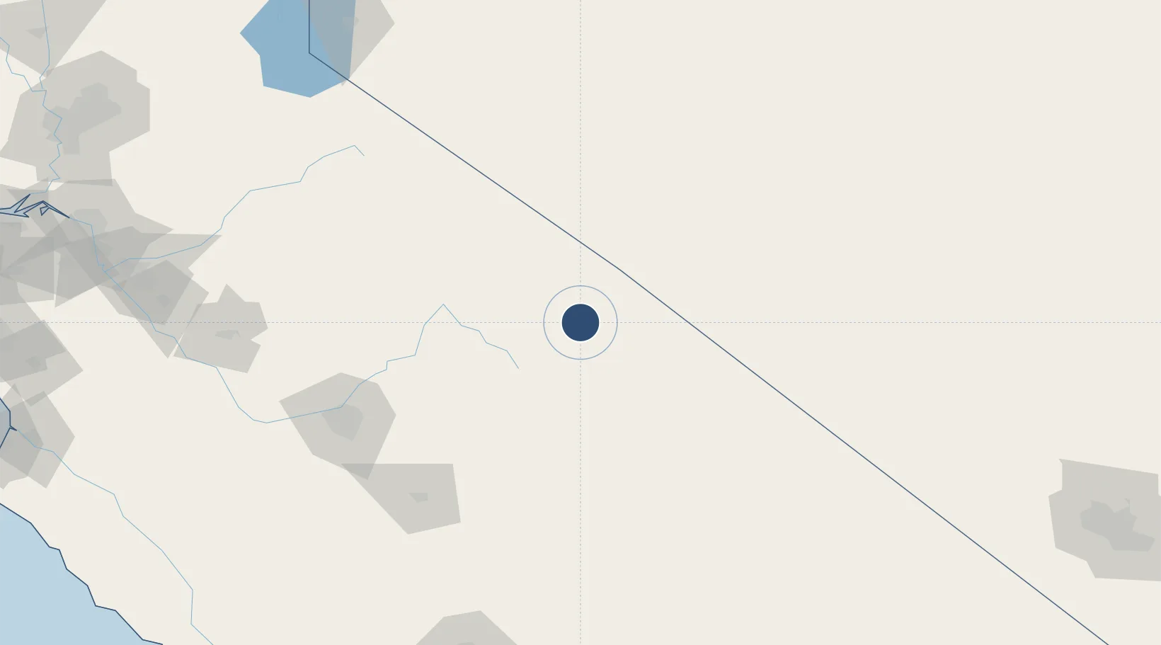
37.3731°, -118.3640°
7,498 ft
Longest runway
3
Runways
4,124 ft
Elevation
Runway & Layout

Radio Frequencies
ASOS
119.025 MHz
A/D
125.75 MHz
OAKLAND CNTR
RDO
122.6 MHz
RIVERSIDE RDO
UNIC
123 MHz
CTAF/UNICOM
Runways · 3
| Runway | Dimensions | Surface | True heading | Lit |
|---|---|---|---|---|
| 12/30 | 7,498 × 100ft | Asphalt | 136° | ✓ |
| 17/35 | 5,600 × 100ft | Asphalt | 181° | ✓ |
| 08/26 | 5,567 × 100ft | Asphalt | 090° | ✓ |
Airport Specifications
IATA code
BIH
ICAO code
KBIH
Airport class
Medium airport
Scheduled service
Yes
Runway surface
Asphalt
Served city
Bishop
Location
Nearby Logistics Neighbours
Airports
Cities
- 1Dyer41 km
- 2Olancha127 km
- 3Del Rey136 km
- 4Mather142 km
- 5Farmersville142 km
Ports
- 1Stockton266 km
- 2Walnut Grove293 km
- 3Isleton298 km
- 4Courtland301 km
- 5Rio Vista306 km
Trade Zones
- 1FTZ No. 226 Merced, Madera and Fresno Counties187 km
- 2FTZ No. 276 Kern County230 km
- 3FTZ No. 089 Clark County259 km
- 4FTZ No. 170 Clark County259 km
- 5FTZ No. 231 Stockton269 km
DatabookThe Record of Consolidated Knowledge
United States beyond logistics?