Foreign Trade Zone · United States

FTZ No. 143 West Sacramento Active

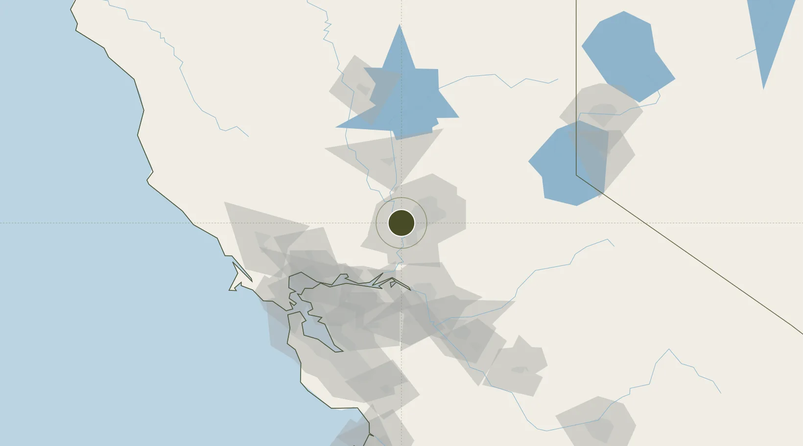
38.5817°, -121.5234°
2.0 km
Nearest port
8.1 km
Nearest airport

Gateway access

Nearest neighbours — logibook spatial index (haversine) over the source coordinates

Zone profile

Zone type
Foreign Trade Zone
Open Zone Map
Region
California
Open Zone Map
Status
Active
Open Zone Map
Management
Public
Open Zone Map
Operator
Port of Sacramento
Open Zone Map
Legal framework
Foreign-Trade Zones Act
Open Zone Map

Location

Location of ozm-4805
Natural Earth 10m (public domain) · California · ozm-4805 · 38.58, -121.52GoogleOSMYandex

Nearby Logistics Neighbours

Ports
  1. 1Sacramento2 km
  2. 2Courtland28 km
  3. 3Walnut Grove39 km
  4. 4Isleton47 km
  5. 5Rio Vista50 km
Nearest neighbours — logibook spatial index (haversine) over the source coordinates
Airports
  1. 1Sacramento Executive Airport8 km
  2. 2Sacramento International Airport14 km
  3. 3McClellan Airfield14 km
  4. 4Sacramento Mather Airport20 km
  5. 5Travis Air Force Base50 km
Nearest neighbours — logibook spatial index (haversine) over the source coordinates
Cities
  1. 1Sacramento8 km
  2. 2McClellan Air Force Base14 km
  3. 3Gold River22 km
  4. 4Pleasant Grove26 km
  5. 5Orangevale28 km
Nearest neighbours — logibook spatial index (haversine) over the source coordinates
Trade Zones
  1. 1FTZ No. 231 Stockton72 km
  2. 2FTZ No. 056 Oakland108 km
  3. 3FTZ No. 003 San Francisco116 km
  4. 4FTZ No. 018 San Jose142 km
  5. 5FTZ No. 226 Merced, Madera and Fresno Counties169 km
Nearest neighbours — logibook spatial index (haversine) over the source coordinates
DatabookThe Record of Consolidated Knowledge
United States beyond logistics?
Browse databook

All Sources

Trade ZonesOpen Zone Map
CC BY
Portsthe NGA World Port Index
Public domain (US gov)
AirportsOurAirports
Public domain
LocationsUN/LOCODE
UN/LOCODE — free
← United States trade zones