UN/LOCODE hub · United States
USTHC

Mather

37.8667°, -119.8500°
2
Transport functions

Transport Functions

Road
Multimodal
UN/LOCODE

Hub Profile

Place type
Populated place
GeoNames
Region
California
GeoNames
Time zone
America/Los_Angeles
GeoNames
Elevation
1,378 m
GeoNames

Location

Location of USTHC
Natural Earth 10m (public domain) · California · USTHC · 37.87, -119.85GoogleOSMYandex

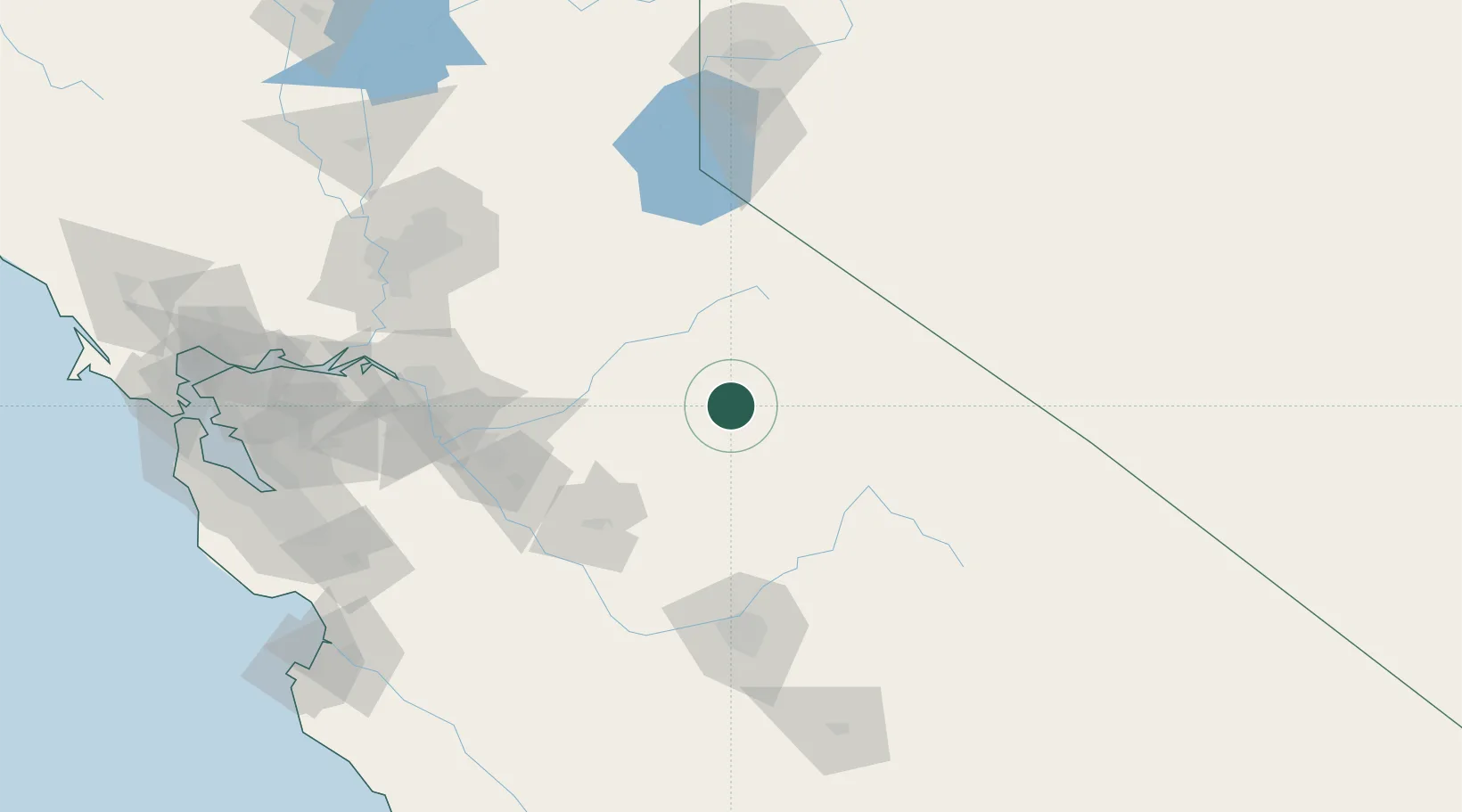
Nearby Logistics Neighbours

Cities
  1. 1Tuolumne36 km
  2. 2Chinese Camp50 km
  3. 3Vallecito59 km
  4. 4Murphys62 km
  5. 5Sierra Vista88 km
Nearest neighbours — logibook spatial index (haversine) over the source coordinates
Ports
  1. 1Stockton128 km
  2. 2Walnut Grove152 km
  3. 3Isleton157 km
  4. 4Courtland159 km
  5. 5Sacramento165 km
Nearest neighbours — logibook spatial index (haversine) over the source coordinates
Airports
  1. 1Castle Airport83 km
  2. 2Merced Regional Macready Field87 km
  3. 3Mammoth Yosemite Airport93 km
  4. 4Modesto City Co-Harry Sham Field101 km
  5. 5Lake Tahoe Airport115 km
Nearest neighbours — logibook spatial index (haversine) over the source coordinates
Trade Zones
  1. 1FTZ No. 226 Merced, Madera and Fresno Counties84 km
  2. 2FTZ No. 231 Stockton130 km
  3. 3FTZ No. 143 West Sacramento166 km
  4. 4FTZ No. 018 San Jose189 km
  5. 5FTZ No. 126 Sparks190 km
Nearest neighbours — logibook spatial index (haversine) over the source coordinates
DatabookThe Record of Consolidated Knowledge
United States beyond logistics?
Browse databook

All Sources

LocationsUN/LOCODE
UN/LOCODE — free
Portsthe NGA World Port Index
Public domain (US gov)
AirportsOurAirports
Public domain
Trade Zonesthe World Bank SEZ database
CC BY 4.0
Trade ZonesOpen Zone Map
CC BY
← United States locations