UN/LOCODE hub · United States
USCWC
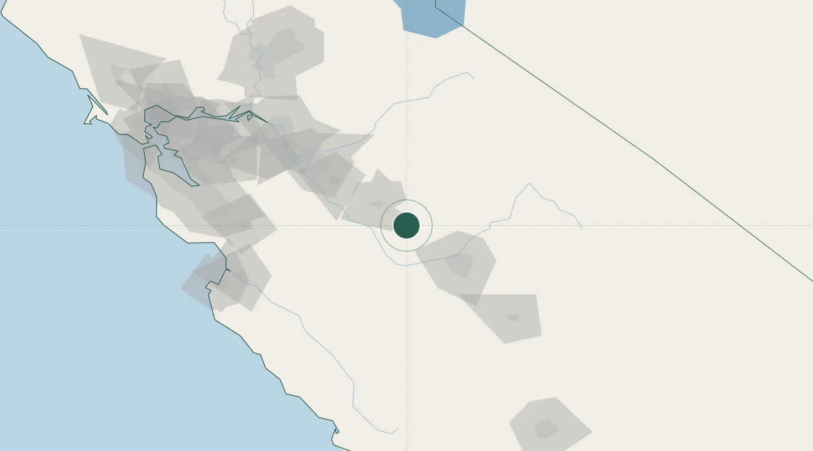
Chowchilla
37.1167°, -120.2500°
18,510
Population
2
Transport functions
Transport Functions
Rail
Road
Hub Profile
Place type
Populated place
Region
California
Population
18,510
Time zone
America/Los_Angeles
Elevation
73 m
Location
Nearby Logistics Neighbours
Cities
- 1Sierra Vista5 km
- 2Biola41 km
- 3Mendota42 km
- 4Livingston51 km
- 5Hilmar61 km
Ports
- 1Stockton131 km
- 2Moss141 km
- 3Monterey156 km
- 4Santa Cruz158 km
- 5Isleton167 km
Airports
Trade Zones
- 1FTZ No. 226 Merced, Madera and Fresno Counties29 km
- 2FTZ No. 231 Stockton133 km
- 3FTZ No. 018 San Jose147 km
- 4FTZ No. 056 Oakland194 km
- 5FTZ No. 143 West Sacramento198 km
DatabookThe Record of Consolidated Knowledge
United States beyond logistics?