UN/LOCODE hub · United States
USTL4

Tuolumne

37.9500°, -120.2500°
2
Transport functions

Transport Functions

Rail
Road
UN/LOCODE

Hub Profile

Place type
Populated place
GeoNames
Region
California
GeoNames
Time zone
America/Los_Angeles
GeoNames
Elevation
791 m
GeoNames

Location

Location of USTL4
Natural Earth 10m (public domain) · California · USTL4 · 37.95, -120.25GoogleOSMYandex

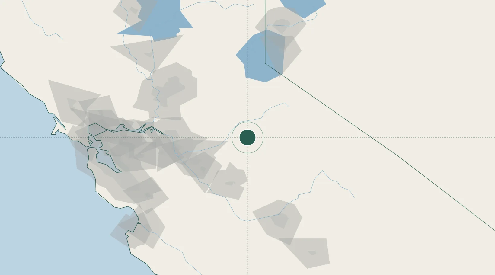
Nearby Logistics Neighbours

Cities
  1. 1Chinese Camp17 km
  2. 2Vallecito24 km
  3. 3Murphys28 km
  4. 4Mather36 km
  5. 5Valley Springs58 km
Nearest neighbours — logibook spatial index (haversine) over the source coordinates
Ports
  1. 1Stockton92 km
  2. 2Walnut Grove115 km
  3. 3Isleton121 km
  4. 4Courtland123 km
  5. 5Rio Vista129 km
Nearest neighbours — logibook spatial index (haversine) over the source coordinates
Airports
  1. 1Castle Airport69 km
  2. 2Modesto City Co-Harry Sham Field72 km
  3. 3Merced Regional Macready Field78 km
  4. 4Stockton Metropolitan Airport87 km
  5. 5Lake Tahoe Airport107 km
Nearest neighbours — logibook spatial index (haversine) over the source coordinates
Trade Zones
  1. 1FTZ No. 226 Merced, Madera and Fresno Counties74 km
  2. 2FTZ No. 231 Stockton94 km
  3. 3FTZ No. 143 West Sacramento132 km
  4. 4FTZ No. 018 San Jose159 km
  5. 5FTZ No. 056 Oakland178 km
Nearest neighbours — logibook spatial index (haversine) over the source coordinates
DatabookThe Record of Consolidated Knowledge
United States beyond logistics?
Browse databook

All Sources

LocationsUN/LOCODE
UN/LOCODE — free
Portsthe NGA World Port Index
Public domain (US gov)
AirportsOurAirports
Public domain
Trade Zonesthe World Bank SEZ database
CC BY 4.0
Trade ZonesOpen Zone Map
CC BY
← United States locations