Channel & Berth Profile
Pilotage, Tugs & Services
Pilotage compulsoryYES
Pilotage availableYES
Potable waterYES
Diesel bunkersYES
Facilities & Capabilities
Container—
Ro-Ro—
Liquid bulk—
Dry bulk—
Oil terminal—
Break bulk—
Dry dock—
Repairs—
BunkeringYES
Rail link—
Dangerous cargo—
ISPS security—
Harbour Specifications
Harbour size
Very Small
Harbour type
River (Natural)
Shelter
Excellent
Water body
North Pacific Ocean
Tidal range
1.2 m
Overhead limit
Yes
Pilotage
Yes
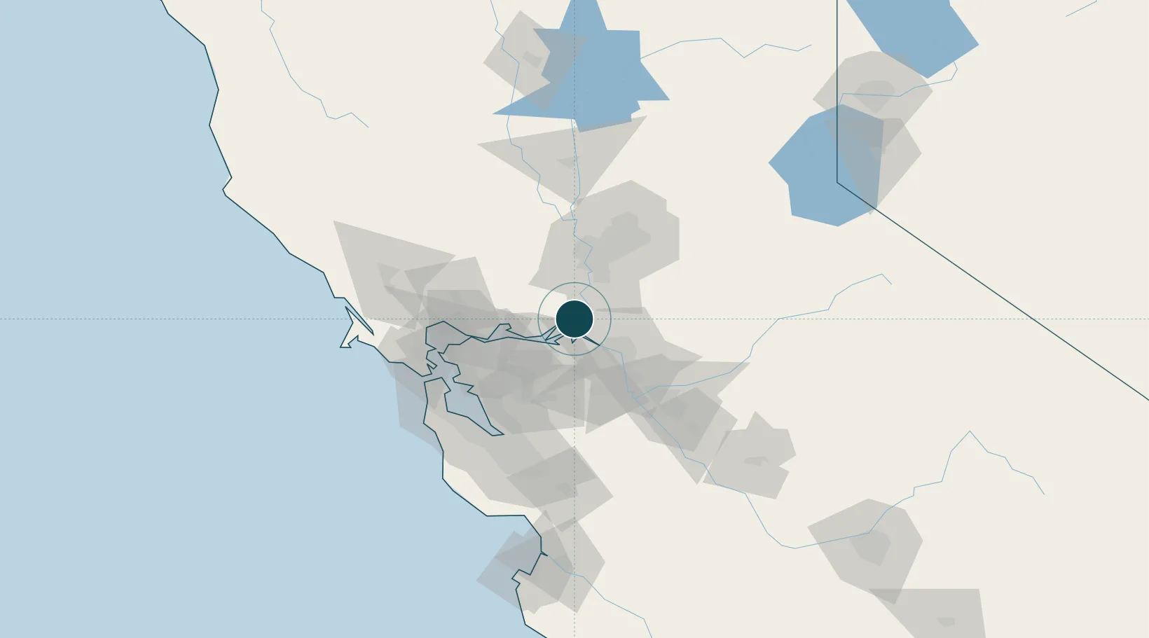
Location
Nearby Logistics Neighbours
Ports
- 1Rio Vista9 km
- 2Walnut Grove10 km
- 3Courtland19 km
- 4Antioch24 km
- 5Pittsburg29 km
Cities
- 1Walnut Grove10 km
- 2Thornton17 km
- 3Acampo28 km
- 4Galt28 km
- 5Bay Point35 km
Airports
- 1Travis Air Force Base31 km
- 2Sacramento Executive Airport40 km
- 3Stockton Metropolitan Airport44 km
- 4Buchanan Field45 km
- 5Sacramento Mather Airport51 km
Trade Zones
- 1FTZ No. 231 Stockton34 km
- 2FTZ No. 143 West Sacramento47 km
- 3FTZ No. 056 Oakland71 km
- 4FTZ No. 003 San Francisco81 km
- 5FTZ No. 018 San Jose96 km
DatabookThe Record of Consolidated Knowledge
United States beyond logistics?