Transport Functions
Road
Multimodal
Hub Profile
Place type
Populated place
Region
Nevada
Population
259
Time zone
America/Los_Angeles
Elevation
1,486 m
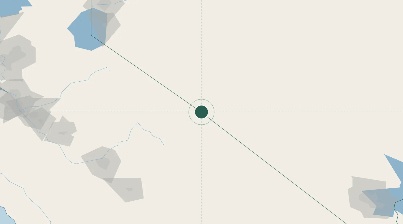
Location
Nearby Logistics Neighbours
Cities
- 1Olancha156 km
- 2Mather157 km
- 3Del Rey176 km
- 4Farmersville183 km
- 5Goshen188 km
Ports
- 1Stockton284 km
- 2Walnut Grove308 km
- 3Isleton313 km
- 4Courtland314 km
- 5Sacramento316 km
Airports
Trade Zones
- 1FTZ No. 226 Merced, Madera and Fresno Counties215 km
- 2FTZ No. 126 Sparks259 km
- 3FTZ No. 089 Clark County263 km
- 4FTZ No. 170 Clark County263 km
- 5FTZ No. 276 Kern County268 km
DatabookThe Record of Consolidated Knowledge
United States beyond logistics?