Foreign Trade Zone · United States
FTZ No. 126 Sparks Active
39.5753°, -119.7855°
184.6 km
Nearest port
8.6 km
Nearest airport
Gateway access
Zone profile
Zone type
Foreign Trade Zone
Region
Nevada
Status
Active
Management
Public-Private Partnership
Operator
Economic Development Authority of Western Nevada
Legal framework
Foreign-Trade Zones Act
Location
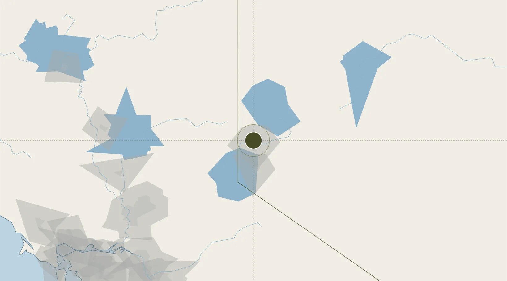
Nearby Logistics Neighbours
Ports
- 1Sacramento185 km
- 2Courtland207 km
- 3Walnut Grove211 km
- 4Isleton222 km
- 5Stockton223 km
Airports
- 1Reno Tahoe International Airport9 km
- 2Truckee Tahoe Airport42 km
- 3Carson Airport43 km
- 4Lake Tahoe Airport78 km
- 5Fallon Naval Air Station95 km
Cities
- 1McCarran7 km
- 2Reno-Stead12 km
- 3Incline Village40 km
- 4Mound House43 km
- 5Doyle56 km
Trade Zones
- 1FTZ No. 143 West Sacramento186 km
- 2FTZ No. 231 Stockton225 km
- 3FTZ No. 226 Merced, Madera and Fresno Counties259 km
- 4FTZ No. 056 Oakland292 km
- 5FTZ No. 003 San Francisco301 km
DatabookThe Record of Consolidated Knowledge
United States beyond logistics?