Transport Functions
Port
Multimodal
Hub Profile
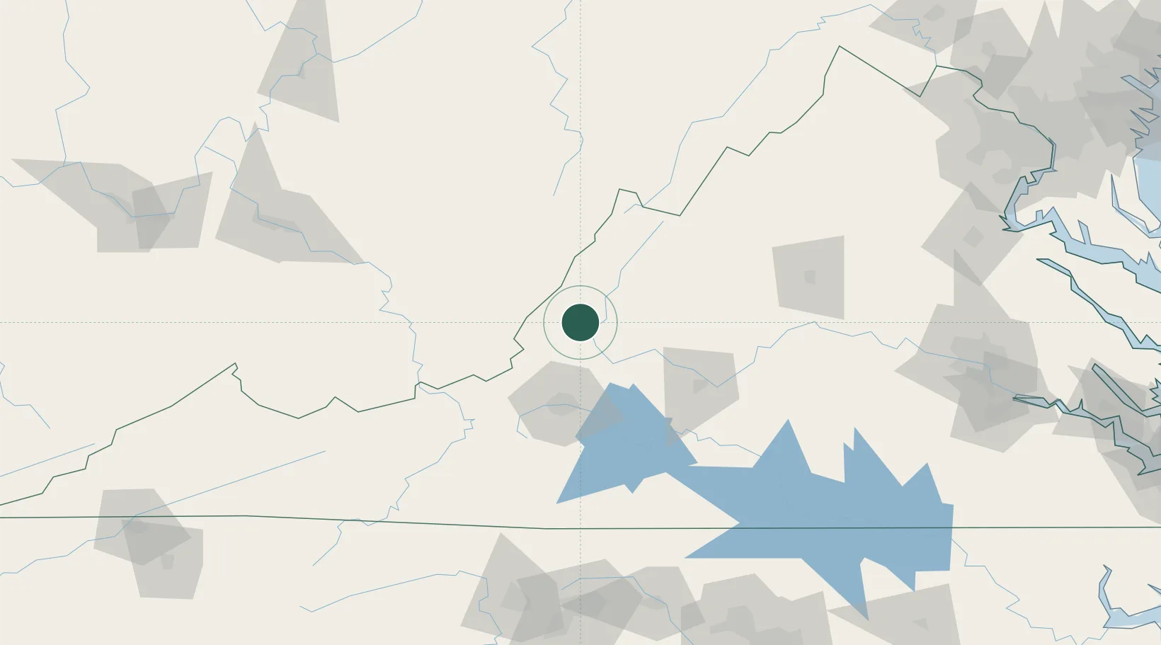
Place type
Populated place
Region
Virginia
Population
258
Time zone
America/New_York
Elevation
342 m
Location
Nearby Logistics Neighbours
Cities
- 1Lowmoor0 km
- 2Wirtz7 km
- 3Eagle Rock, Botetourt18 km
- 4Buchanan35 km
- 5Viche38 km
Ports
- 1Richmond219 km
- 2Fredericksburg221 km
- 3West Point273 km
- 4Alexandria273 km
- 5Washington D.C.276 km
Airports
Trade Zones
- 1FTZ No. 238 Dublin105 km
- 2FTZ No. 229 Charleston172 km
- 3FTZ No. 185 Culpeper County178 km
- 4FTZ No. 230 Piedmont Triad Area179 km
- 5FTZ No. 207 Richmond206 km
DatabookThe Record of Consolidated Knowledge
United States beyond logistics?