UN/LOCODE hub · United States
USAOA
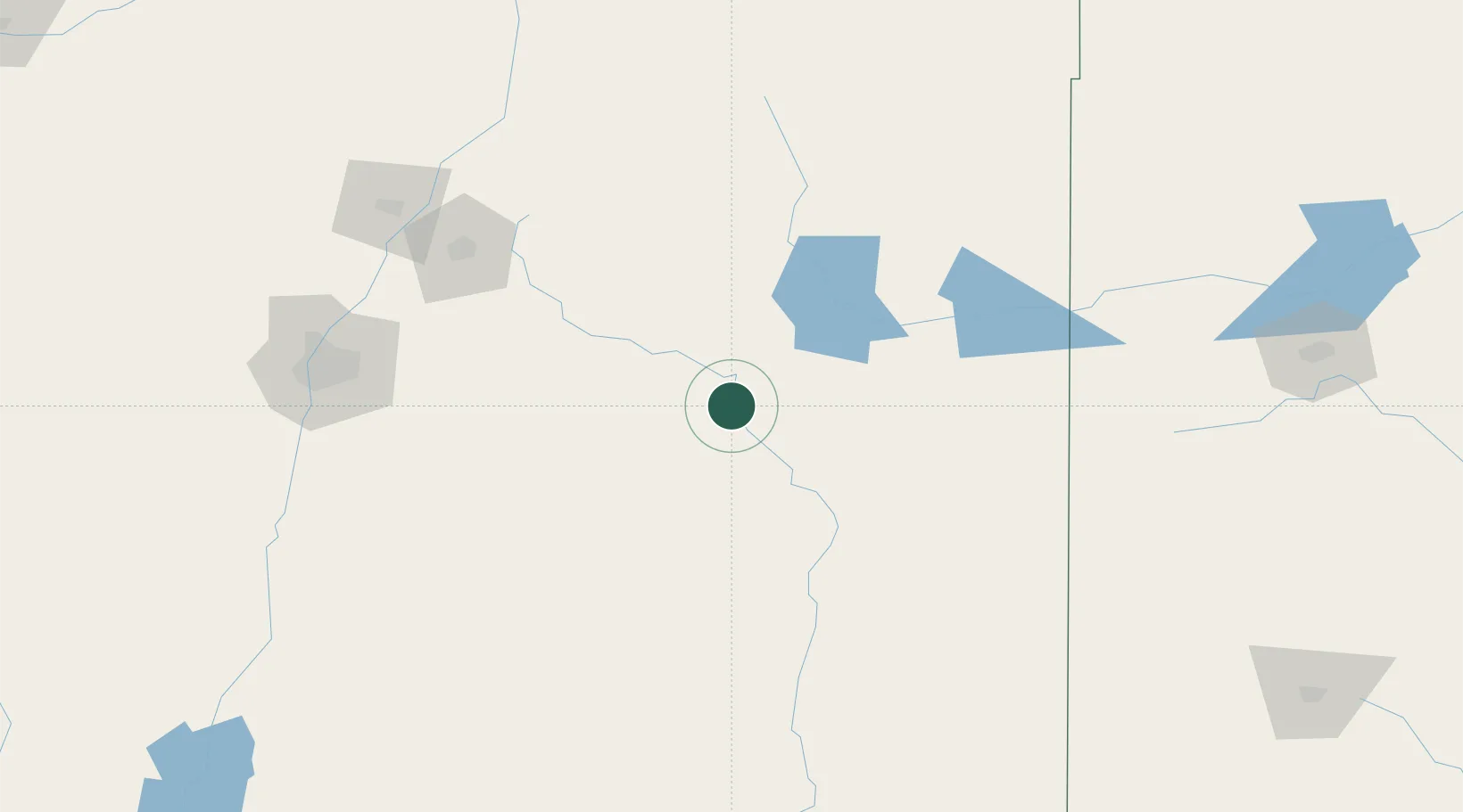
Santa Rosa
34.9333°, -104.6667°
2,675
Population
3
Transport functions
Transport Functions
Rail
Road
Multimodal
Hub Profile
Place type
Provincial seat
Region
New Mexico
Population
2,675
Time zone
America/Denver
Elevation
1,407 m
Location
Nearby Logistics Neighbours
Cities
- 1Buchanan58 km
- 2Vaughn62 km
- 3Culebra105 km
- 4Wagon Mound119 km
- 5San Jon124 km
Ports
- 1Guaymas980 km
- 2Port Lavaca1035 km
- 3Deer Park1049 km
- 4Corpus Christi1049 km
- 5Houston1052 km
Airports
- 1Las Vegas Municipal Airport91 km
- 2Tucumcari Municipal Airport101 km
- 3Cannon Air Force Base137 km
- 4Santa Fe Municipal Airport150 km
- 5Clovis Municipal Airport156 km
Trade Zones
- 1FTZ No. 110 Albuquerque197 km
- 2FTZ No. 252 Amarillo256 km
- 3FTZ No. 260 Lubbock285 km
- 4FTZ No. 261 Alexandria285 km
- 5FTZ No. 197 Dona Ana County376 km
DatabookThe Record of Consolidated Knowledge
United States beyond logistics?