Medium airport · United States
Tucumcari Municipal AirportKTCC
35.1828°, -103.6030°
7,104 ft
Longest runway
2
Runways
4,065 ft
Elevation
Runway & Layout

Radio Frequencies
ASOS
119.275 MHz
CNTR
126.85 MHz
ALBUQUERQUE CNTR
RDO
122.35 MHz
ALBUQUERQUE RDO
UNIC
122.95 MHz
CTAF/UNICOM
Navaids
TCC VORTAC Tucumcari 113.60 MHz
Runways · 2
| Runway | Dimensions | Surface | True heading | Lit |
|---|---|---|---|---|
| 03/21 | 7,104 × 100ft | Asphalt | 045° | ✓ |
| 08/26 | 4,600 × 60ft | Asphalt | 090° | ✓ |
Airport Specifications
IATA code
TCC
ICAO code
KTCC
Airport class
Medium airport
Scheduled service
No
Runway surface
Asphalt
Served city
Tucumcari
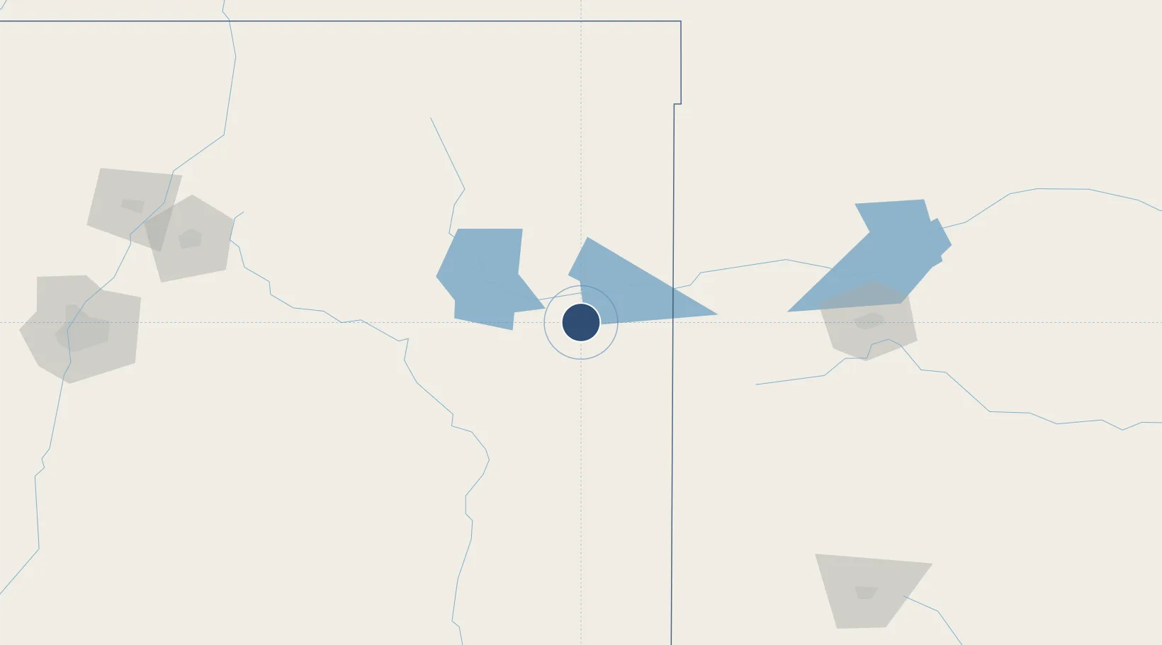
Location
Nearby Logistics Neighbours
Airports
Cities
- 1San Jon28 km
- 2Santa Rosa101 km
- 3Wagon Mound136 km
- 4Elida137 km
- 5Buchanan137 km
Ports
- 1Deer Park983 km
- 2Port Lavaca983 km
- 3Houston986 km
- 4Pasadena994 km
- 5Palacios1003 km
Trade Zones
- 1FTZ No. 252 Amarillo157 km
- 2FTZ No. 260 Lubbock229 km
- 3FTZ No. 261 Alexandria229 km
- 4FTZ No. 110 Albuquerque292 km
- 5FTZ No. 165 Midland374 km
DatabookThe Record of Consolidated Knowledge
United States beyond logistics?