Medium airport · United States
San Angelo Regional Mathis FieldKSJT
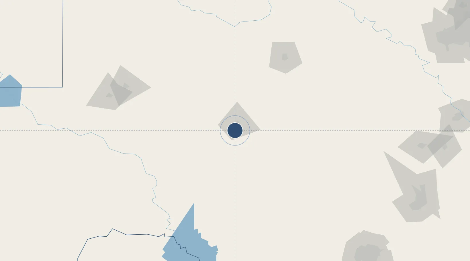
31.3577°, -100.4960°
8,054 ft
Longest runway
3
Runways
1,919 ft
Elevation
Runway & Layout

Radio Frequencies
ATIS
128.45 MHz
TWR
118.3 MHz
GND
121.9 MHz
CTAF
118.3 MHz
A/D
125.35 MHz
APP/DEP
RDO
122.25 MHz
UNIC
122.95 MHz
UNICOM
Navaids
SJ NDB Woole 356 kHz
SJT VORTAC San Angelo 115.10 MHz
Runways · 3
| Runway | Dimensions | Surface | True heading | Lit |
|---|---|---|---|---|
| 18/36 | 8,054 × 150ft | Asphalt | 187° | ✓ |
| 03/21 | 5,940 × 150ft | Asphalt | 043° | ✓ |
| 09/27 | 4,406 × 75ft | Asphalt | 098° | ✓ |
Airport Specifications
IATA code
SJT
ICAO code
KSJT
Airport class
Medium airport
Scheduled service
Yes
Runway surface
Asphalt
Served city
San Angelo
Location
Nearby Logistics Neighbours
Airports
- 1Sonora Municipal Airport87 km
- 2Curtis Field113 km
- 3Kimble County Airport117 km
- 4Dyess Air Force Base133 km
- 5Abilene Regional Airport140 km
Ports
- 1Port Lavaca482 km
- 2Corpus Christi495 km
- 3Rockport499 km
- 4Port Ingleside508 km
- 5Palacios508 km
Trade Zones
- 1FTZ No. 165 Midland177 km
- 2FTZ No. 166 Homestead177 km
- 3FTZ No. 080 San Antonio265 km
- 4FTZ No. 039 Dallas Fort Worth274 km
- 5FTZ No. 260 Lubbock287 km
DatabookThe Record of Consolidated Knowledge
United States beyond logistics?