Large airport · United States
Harry Reid International AirportKLAS
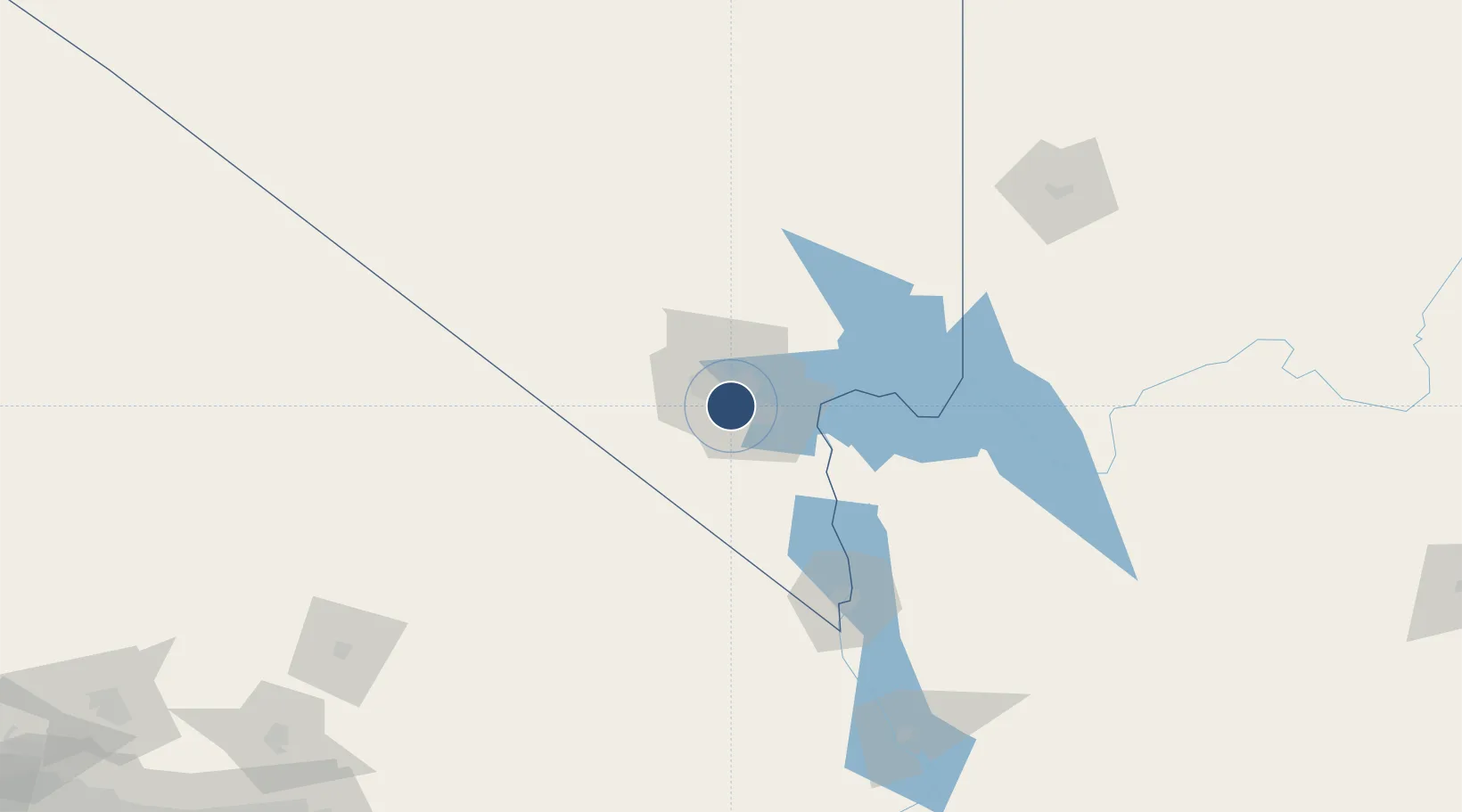
36.0834°, -115.1518°
14,835 ft
Longest runway
4
Runways
2,181 ft
Elevation
Runway & Layout

Radio Frequencies
ATIS
132.4 MHz
TWR
119.9 MHz
Tower
GND
121.1 MHz
Ground
CLD
118 MHz
CLNC DEL
APP
125.025 MHz
LAS VEGAS APP
DEP
125.02 MHz
LAS VEGAS DEP
UNIC
122.95 MHz
UNICOM
Navaids
LAS VORTAC Las Vegas 116.90 MHz
Runways · 4
| Runway | Dimensions | Surface | True heading | Lit |
|---|---|---|---|---|
| 08L/26R | 14,835 × 150ft | Asphalt | 090° | ✓ |
| 08R/26L | 10,526 × 150ft | Asphalt | 090° | ✓ |
| 01L/19R | 9,770 × 150ft | Concrete | 025° | ✓ |
| 01R/19L | 9,769 × 150ft | Asphalt | 025° | ✓ |
Airport Specifications
IATA code
LAS
ICAO code
KLAS
Airport class
Large airport
Scheduled service
Yes
Runway surface
Asphalt
Served city
Las Vegas
Location
Nearby Logistics Neighbours
Airports
Cities
- 1Las Vegas15 km
- 2North Las Vegas18 km
- 3Nellis Air Force Base23 km
- 4Jean37 km
- 5Primm58 km
Ports
- 1Newport Beach372 km
- 2Long Beach378 km
- 3Los Angeles384 km
- 4El Segundo384 km
- 5San Diego418 km
Trade Zones
- 1FTZ No. 170 Clark County86 km
- 2FTZ No. 089 Clark County86 km
- 3FTZ No. 243 Victorville261 km
- 4FTZ No. 236 Palm Springs280 km
- 5FTZ No. 244 Riverside County310 km
DatabookThe Record of Consolidated Knowledge
United States beyond logistics?