Medium airport · United States

Childress Municipal AirportKCDS

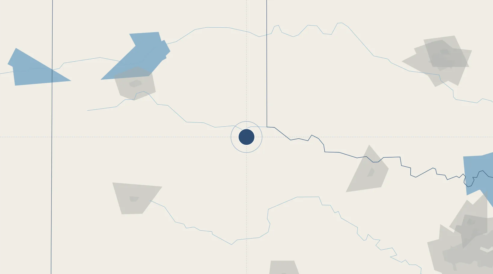
34.4338°, -100.2880°
5,949 ft
Longest runway
2
Runways
1,954 ft
Elevation

Runway & Layout

Childress Municipal Airport runway & taxiway layout
Runway & taxiway layout — OpenStreetMap (ODbL) / OurAirports

Radio Frequencies

ASOS
135.125 MHz
CNTR
133.5 MHz
FORT WORTH CNTR
RDO
122.45 MHz
FORT WORTH RDO
UNIC
122.8 MHz
CTAF/UNICOM
OurAirports

Runways · 2

RunwayDimensions SurfaceTrue headingLit
17/35 5,949 × 75ft Asphalt 182°
04/22 4,425 × 60ft Asphalt 047°
OurAirports

Airport Specifications

IATA code
CDS
OurAirports
ICAO code
KCDS
OurAirports
Airport class
Medium airport
OurAirports
Scheduled service
No
OurAirports
Runway surface
Asphalt
OurAirports
Served city
Childress
OurAirports

Location

Location of KCDS
Natural Earth 10m (public domain) · Texas · KCDS · 34.43, -100.29GoogleOSMYandex

Nearby Logistics Neighbours

Airports
  1. 1Altus Air Force Base97 km
  2. 2Hobart Regional Airport129 km
  3. 3Rick Husband Amarillo International Airport156 km
  4. 4Lubbock Preston Smith International Airport165 km
  5. 5Lawton Fort Sill Regional Airport172 km
Nearest neighbours — logibook spatial index (haversine) over the source coordinates
Cities
  1. 1Turkey56 km
  2. 2Shamrock, Wheeler87 km
  3. 3Silverton93 km
  4. 4Willow99 km
  5. 5Granite102 km
Nearest neighbours — logibook spatial index (haversine) over the source coordinates
Ports
  1. 1Deer Park699 km
  2. 2Houston702 km
  3. 3Pasadena709 km
  4. 4Baytown721 km
  5. 5Port Lavaca734 km
Nearest neighbours — logibook spatial index (haversine) over the source coordinates
Trade Zones
  1. 1FTZ No. 252 Amarillo168 km
  2. 2FTZ No. 260 Lubbock186 km
  3. 3FTZ No. 261 Alexandria186 km
  4. 4FTZ No. 106 Oklahoma City277 km
  5. 5FTZ No. 039 Dallas Fort Worth278 km
Nearest neighbours — logibook spatial index (haversine) over the source coordinates
DatabookThe Record of Consolidated Knowledge
United States beyond logistics?
Browse databook

All Sources

AirportsOurAirports
Public domain
Portsthe NGA World Port Index
Public domain (US gov)
LocationsUN/LOCODE
UN/LOCODE — free
Trade Zonesthe World Bank SEZ database
CC BY 4.0
Trade ZonesOpen Zone Map
CC BY
InfrastructureOpenStreetMap
ODbL 1.0
← United States airports