Medium airport · United States
McComb-Pike County Airport / John E Lewis FieldKMCB
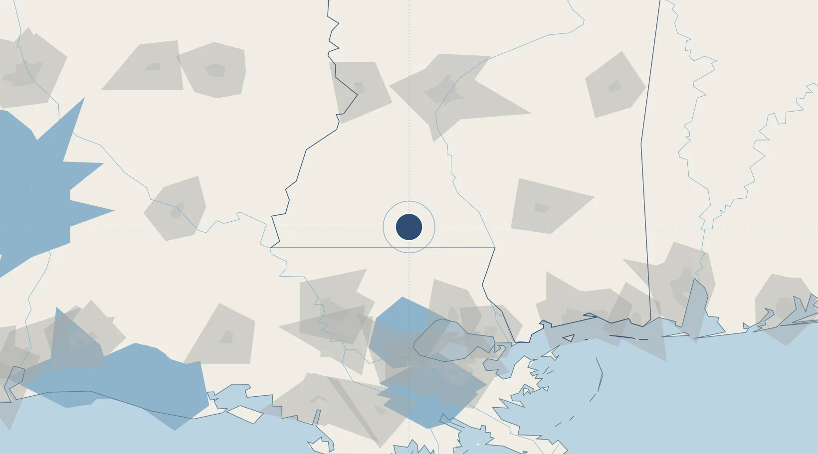
31.1785°, -90.4719°
5,000 ft
Longest runway
1
Runways
413 ft
Elevation
Runway & Layout

Radio Frequencies
ASOS
119.025 MHz
CNTR
133.5 MHz
HOUSTON CNTR
RDO
122.2 MHz
GREENWOOD RDO
UNIC
123.05 MHz
CTAF/UNICOM
Navaids
MC NDB Ferni 413 kHz
MCB VORTAC Mc Comb 116.70 MHz
Runways · 1
| Runway | Dimensions | Surface | True heading | Lit |
|---|---|---|---|---|
| 16/34 | 5,000 × 100ft | Asphalt | 156° | ✓ |
Airport Specifications
IATA code
MCB
ICAO code
KMCB
Airport class
Medium airport
Scheduled service
No
Runway surface
Asphalt
Served city
McComb
Location
Nearby Logistics Neighbours
Airports
Cities
- 1Magnolia3 km
- 2McComb6 km
- 3Tylertown31 km
- 4Franklinton48 km
- 5Roseland48 km
Ports
- 1Madisonville92 km
- 2Baton Rouge106 km
- 3Slidell121 km
- 4Reserve126 km
- 5Convent134 km
Trade Zones
- 1FTZ No. 154 Baton Rouge111 km
- 2FTZ No. 155 Calhoun Victoria Counties111 km
- 3FTZ No. 124 Gramercy127 km
- 4FTZ No. 158 Vicksburg Jackson130 km
- 5FTZ No. 002 New Orleans144 km
DatabookThe Record of Consolidated Knowledge
United States beyond logistics?