Transport Functions
Port
Rail
Road
Hub Profile
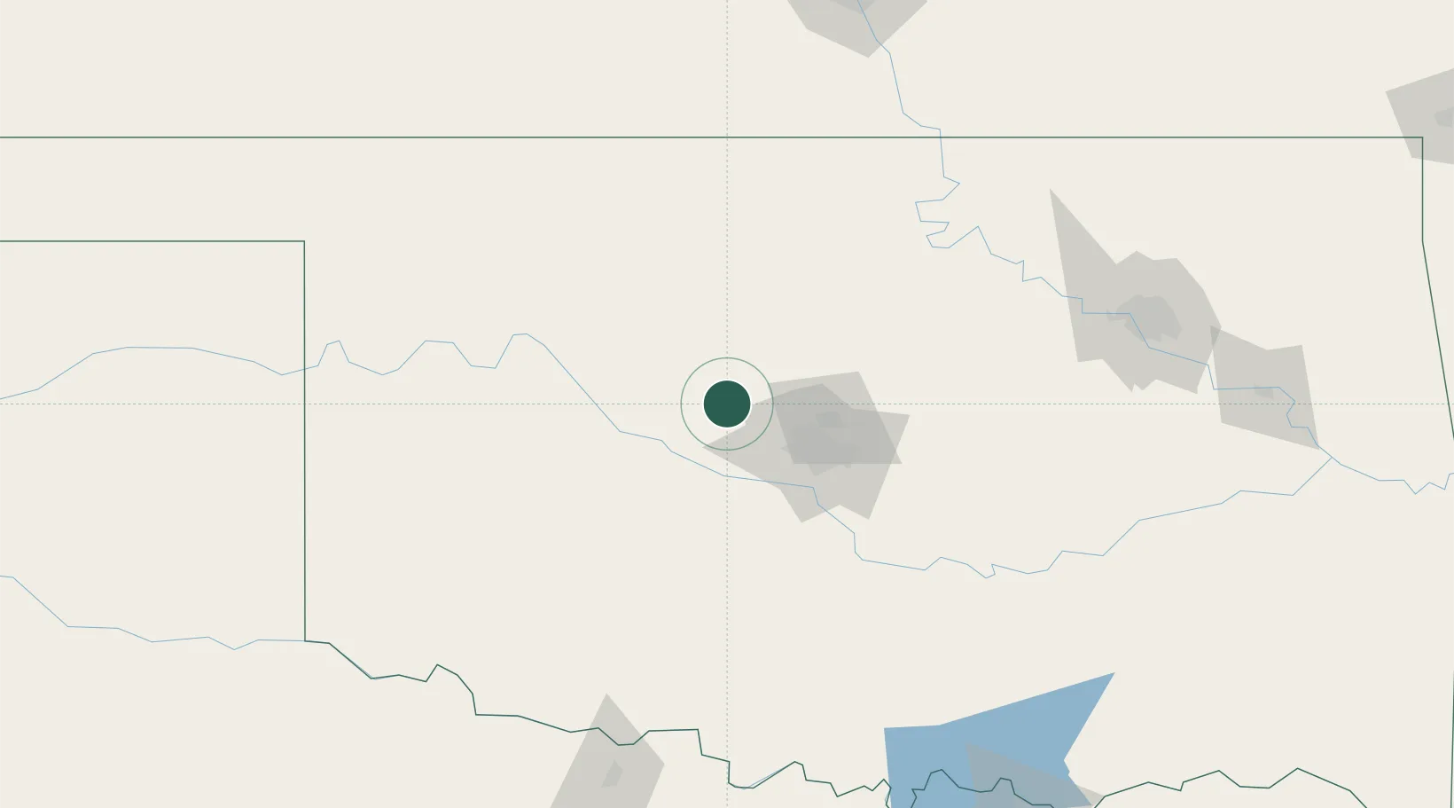
Place type
Populated place
Region
Oklahoma
Population
1,307
Time zone
America/Chicago
Elevation
379 m
Location
Nearby Logistics Neighbours
Ports
- 1Deer Park708 km
- 2Houston709 km
- 3Port Of Memphis711 km
- 4Pasadena715 km
- 5Baytown720 km
Airports
- 1OKC Will Rogers World Airport49 km
- 2Tinker Air Force Base62 km
- 3Vance Air Force Base69 km
- 4Stillwater Regional Airport94 km
- 5Henry Post Army Air Field125 km
Trade Zones
- 1FTZ No. 106 Oklahoma City49 km
- 2FTZ No. 053 Rogers County202 km
- 3FTZ No. 161 Sedgwick County221 km
- 4FTZ No. 164 Muskogee228 km
- 5FTZ No. 227 Durant238 km
DatabookThe Record of Consolidated Knowledge
United States beyond logistics?