Transport Functions
Rail
Road
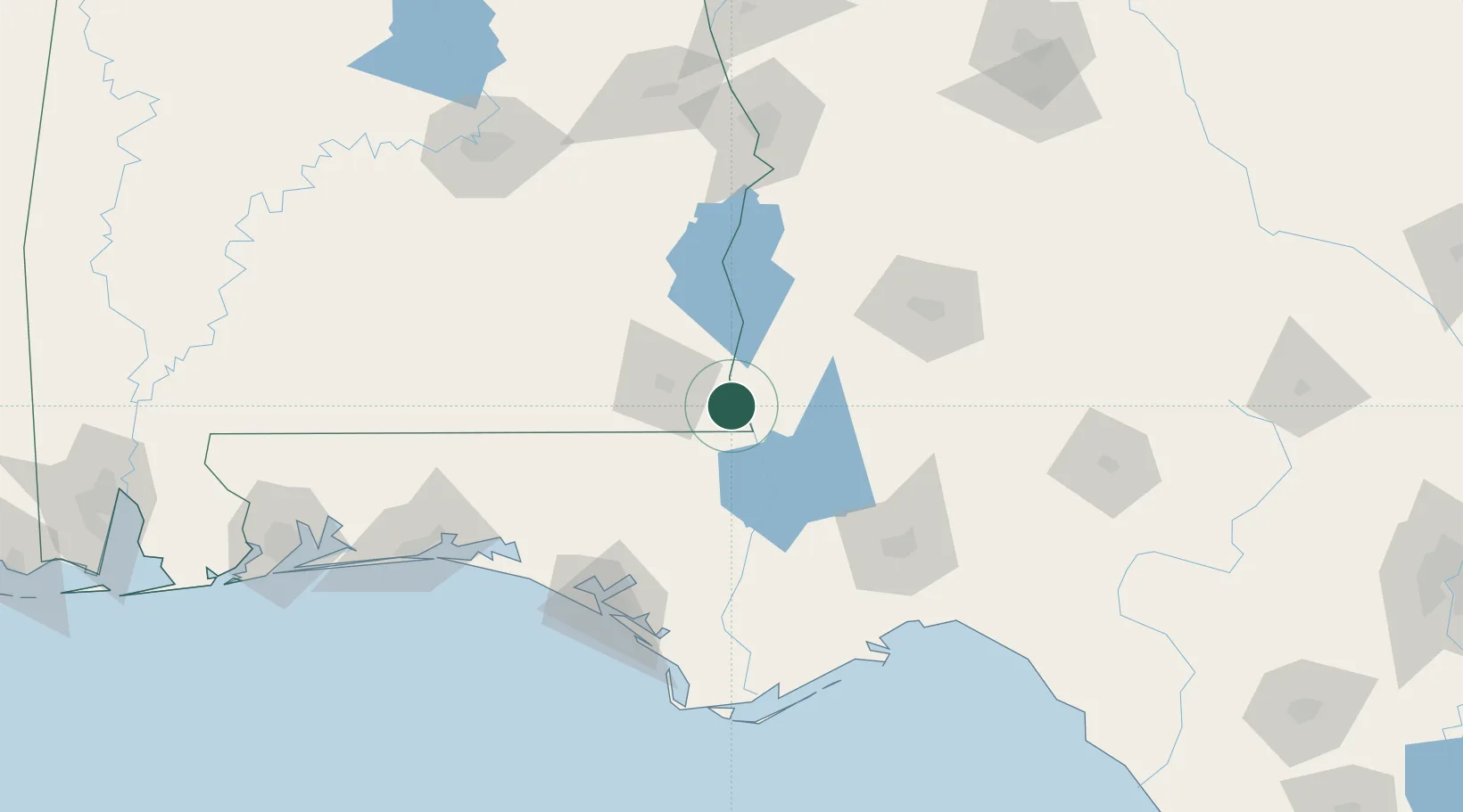
Hub Profile
Place type
Populated place
Region
Alabama
Population
327
Time zone
America/Chicago
Elevation
50 m
Location
Nearby Logistics Neighbours
Cities
- 1Ashford15 km
- 2Donalsonville25 km
- 3Campbellton35 km
- 4Bluffton49 km
- 5Sneads51 km
Ports
- 1Panama City123 km
- 2Port St Joe148 km
- 3Carrabelle149 km
- 4Apalachicola158 km
- 5Pensacola218 km
Airports
Trade Zones
- 1FTZ No. 233 Dothan33 km
- 2FTZ No. 065 Panama City120 km
- 3FTZ No. 222 Montgomery179 km
- 4FTZ No. 249 Pensacola221 km
- 5FTZ No. 082 Mobile290 km
DatabookThe Record of Consolidated Knowledge
United States beyond logistics?