UN/LOCODE hub · United States
USAF2

Ashford

31.1833°, -85.2500°
2,158
Population
2
Transport functions

Transport Functions

Road
Multimodal
UN/LOCODE

Hub Profile

Place type
Populated place
GeoNames
Region
Alabama
GeoNames
Population
2,158
GeoNames
Time zone
America/Chicago
GeoNames
Elevation
76 m
GeoNames

Location

Location of USAF2
Natural Earth 10m (public domain) · Alabama · USAF2 · 31.18, -85.25GoogleOSMYandex

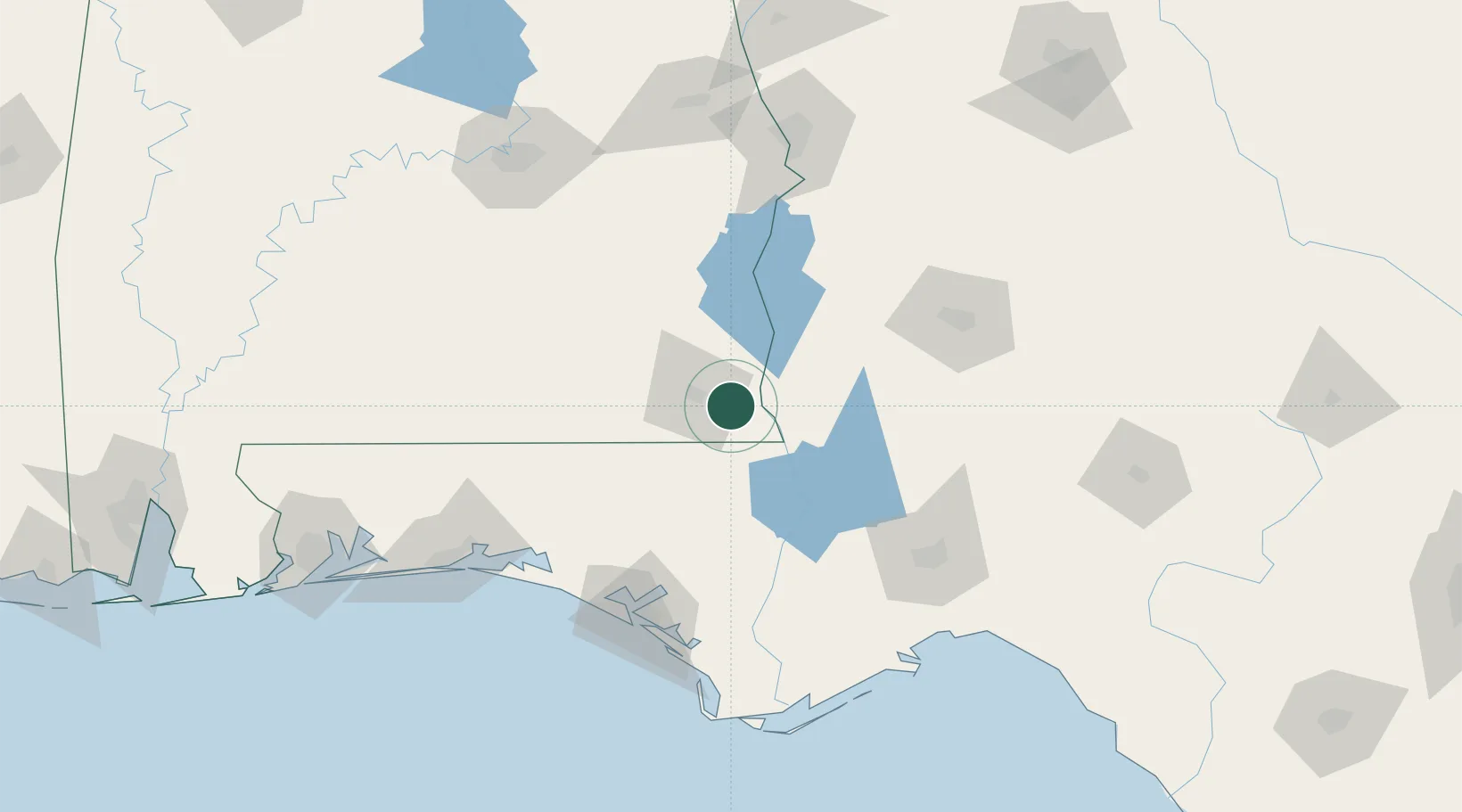
Nearby Logistics Neighbours

Cities
  1. 1Gordon15 km
  2. 2Campbellton30 km
  3. 3Donalsonville40 km
  4. 4Hartford44 km
  5. 5Daleville46 km
Nearest neighbours — logibook spatial index (haversine) over the source coordinates
Ports
  1. 1Panama City123 km
  2. 2Port St Joe152 km
  3. 3Carrabelle158 km
  4. 4Apalachicola165 km
  5. 5Pensacola207 km
Nearest neighbours — logibook spatial index (haversine) over the source coordinates
Airports
  1. 1Dothan Regional Airport24 km
  2. 2Cairns AAF (Fort Rucker) Air Field45 km
  3. 3Troy Municipal Airport at N Kenneth Campbell Field104 km
  4. 4Northwest Florida Beaches International Airport106 km
  5. 5Southwest Georgia Regional Airport107 km
Nearest neighbours — logibook spatial index (haversine) over the source coordinates
Trade Zones
  1. 1FTZ No. 233 Dothan18 km
  2. 2FTZ No. 065 Panama City119 km
  3. 3FTZ No. 222 Montgomery166 km
  4. 4FTZ No. 249 Pensacola209 km
  5. 5FTZ No. 082 Mobile276 km
Nearest neighbours — logibook spatial index (haversine) over the source coordinates
DatabookThe Record of Consolidated Knowledge
United States beyond logistics?
Browse databook

All Sources

LocationsUN/LOCODE
UN/LOCODE — free
LocationsGeoNames
CC BY 4.0
Portsthe NGA World Port Index
Public domain (US gov)
AirportsOurAirports
Public domain
Trade Zonesthe World Bank SEZ database
CC BY 4.0
Trade ZonesOpen Zone Map
CC BY
← United States locations