UN/LOCODE hub · United States
USGEP
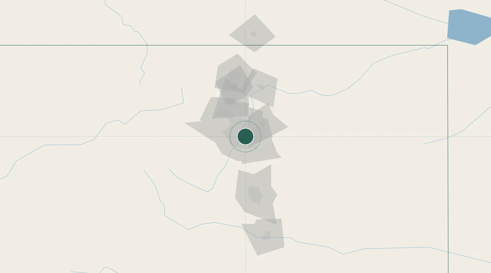
Glendale
39.7000°, -104.9333°
5,198
Population
2
Transport functions
Transport Functions
Road
Multimodal
Hub Profile
Place type
Populated place
Region
Colorado
Population
5,198
Time zone
America/Denver
Elevation
1,631 m
Location
Nearby Logistics Neighbours
Cities
- 1Loan Tree13 km
- 2Irondale15 km
- 3Centennial16 km
- 4Highlands Ranch17 km
- 5Arvada17 km
Ports
- 1Duluth1301 km
- 2Superior1301 km
- 3Newport Beach1338 km
- 4San Diego1344 km
- 5Rosarito1362 km
Airports
Trade Zones
- 1FTZ No. 123 Denver7 km
- 2FTZ No. 298 Jefferson County20 km
- 3FTZ No. 112 Colorado Springs97 km
- 4FTZ No. 293 Limon118 km
- 5FTZ No. 110 Albuquerque540 km
DatabookThe Record of Consolidated Knowledge
United States beyond logistics?