UN/LOCODE hub · United States
USQFU
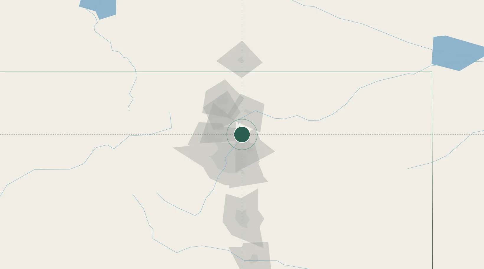
Fort Lupton
40.0833°, -104.8000°
7,822
Population
4
Transport functions
Transport Functions
Port
Rail
Road
Multimodal
Hub Profile
Place type
Populated place
Region
Colorado
Population
7,822
Time zone
America/Denver
Elevation
1,496 m
Location
Nearby Logistics Neighbours
Cities
- 1Frederick12 km
- 2Firestone12 km
- 3Erie22 km
- 4Keenesburg24 km
- 5Lafayette27 km
Ports
- 1Duluth1264 km
- 2Superior1264 km
- 3Newport Beach1367 km
- 4San Diego1376 km
- 5Rosarito1395 km
Airports
Trade Zones
- 1FTZ No. 123 Denver41 km
- 2FTZ No. 298 Jefferson County49 km
- 3FTZ No. 293 Limon132 km
- 4FTZ No. 112 Colorado Springs139 km
- 5FTZ No. 110 Albuquerque584 km
DatabookThe Record of Consolidated Knowledge
United States beyond logistics?