UN/LOCODE hub · United States
USZOZ
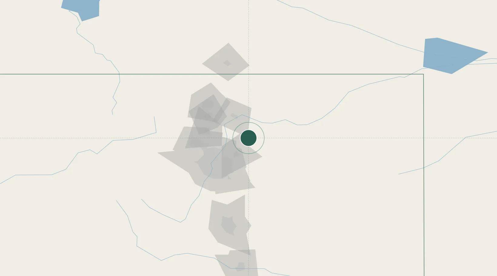
Keenesburg
40.1000°, -104.5167°
1,195
Population
2
Transport functions
Transport Functions
Rail
Road
Hub Profile
Place type
Populated place
Region
Colorado
Population
1,195
Time zone
America/Denver
Elevation
1,510 m
Location
Nearby Logistics Neighbours
Cities
- 1Roggen15 km
- 2Fort Lupton24 km
- 3La Salle32 km
- 4Frederick35 km
- 5Firestone36 km
Ports
- 1Duluth1245 km
- 2Superior1245 km
- 3Newport Beach1390 km
- 4San Diego1397 km
- 5Rosarito1417 km
Airports
Trade Zones
- 1FTZ No. 123 Denver57 km
- 2FTZ No. 298 Jefferson County67 km
- 3FTZ No. 293 Limon117 km
- 4FTZ No. 112 Colorado Springs143 km
- 5FTZ No. 252 Amarillo592 km
DatabookThe Record of Consolidated Knowledge
United States beyond logistics?