Medium airport · United States

Vernal Regional AirportKVEL

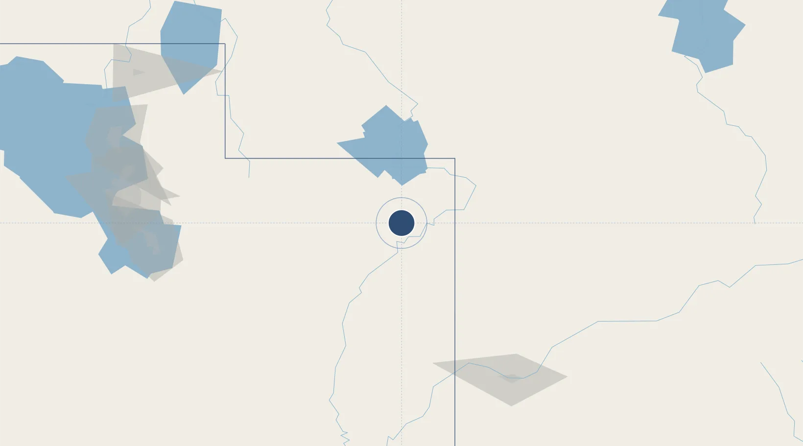
40.4362°, -109.5117°
7,000 ft
Longest runway
1
Runways
5,278 ft
Elevation

Runway & Layout

Vernal Regional Airport runway & taxiway layout
Runway & taxiway layout — OpenStreetMap (ODbL) / OurAirports

Radio Frequencies

ASOS
135.175 MHz
RDO
122.35 MHz
CEDAR CITY RDO
UNIC
122.7 MHz
CTAF/UNICOM
OurAirports

Runways · 1

RunwayDimensions SurfaceTrue headingLit
17/35 7,000 × 100ft Asphalt 179°
OurAirports

Airport Specifications

IATA code
VEL
OurAirports
ICAO code
KVEL
OurAirports
Airport class
Medium airport
OurAirports
Scheduled service
Yes
OurAirports
Runway surface
Asphalt
OurAirports
Served city
Vernal
OurAirports

Location

Location of KVEL
Natural Earth 10m (public domain) · Utah · KVEL · 40.44, -109.51GoogleOSMYandex

Nearby Logistics Neighbours

Airports
  1. 1Southwest Wyoming Regional Airport134 km
  2. 2Evanston-Uinta County Airport-Burns Field159 km
  3. 3Grand Junction Regional Airport168 km
  4. 4Garfield County Regional Airport183 km
  5. 5Canyonlands Regional Airport188 km
Nearest neighbours — logibook spatial index (haversine) over the source coordinates
Cities
  1. 1Reliance140 km
  2. 2Point of Rocks152 km
  3. 3Heber City161 km
  4. 4Parachute166 km
  5. 5Park City168 km
Nearest neighbours — logibook spatial index (haversine) over the source coordinates
Ports
  1. 1Sacramento1048 km
  2. 2Stockton1052 km
  3. 3Walnut Grove1060 km
  4. 4Courtland1061 km
  5. 5Newport Beach1062 km
Nearest neighbours — logibook spatial index (haversine) over the source coordinates
Trade Zones
  1. 1FTZ No. 030 Salt Lake City213 km
  2. 2FTZ No. 298 Jefferson County379 km
  3. 3FTZ No. 123 Denver392 km
  4. 4FTZ No. 112 Colorado Springs439 km
  5. 5FTZ No. 293 Limon514 km
Nearest neighbours — logibook spatial index (haversine) over the source coordinates
DatabookThe Record of Consolidated Knowledge
United States beyond logistics?
Browse databook

All Sources

AirportsOurAirports
Public domain
Portsthe NGA World Port Index
Public domain (US gov)
LocationsUN/LOCODE
UN/LOCODE — free
Trade Zonesthe World Bank SEZ database
CC BY 4.0
Trade ZonesOpen Zone Map
CC BY
InfrastructureOpenStreetMap
ODbL 1.0
← United States airports