UN/LOCODE hub · United States
USFGH

Feeding Hills

42.0667°, -72.6667°
2
Transport functions

Transport Functions

Road
Multimodal
UN/LOCODE

Hub Profile

Place type
Populated place
GeoNames
Region
Massachusetts
GeoNames
Time zone
America/New_York
GeoNames
Elevation
68 m
GeoNames

Location

Location of USFGH
Natural Earth 10m (public domain) · Massachusetts · USFGH · 42.07, -72.67GoogleOSMYandex

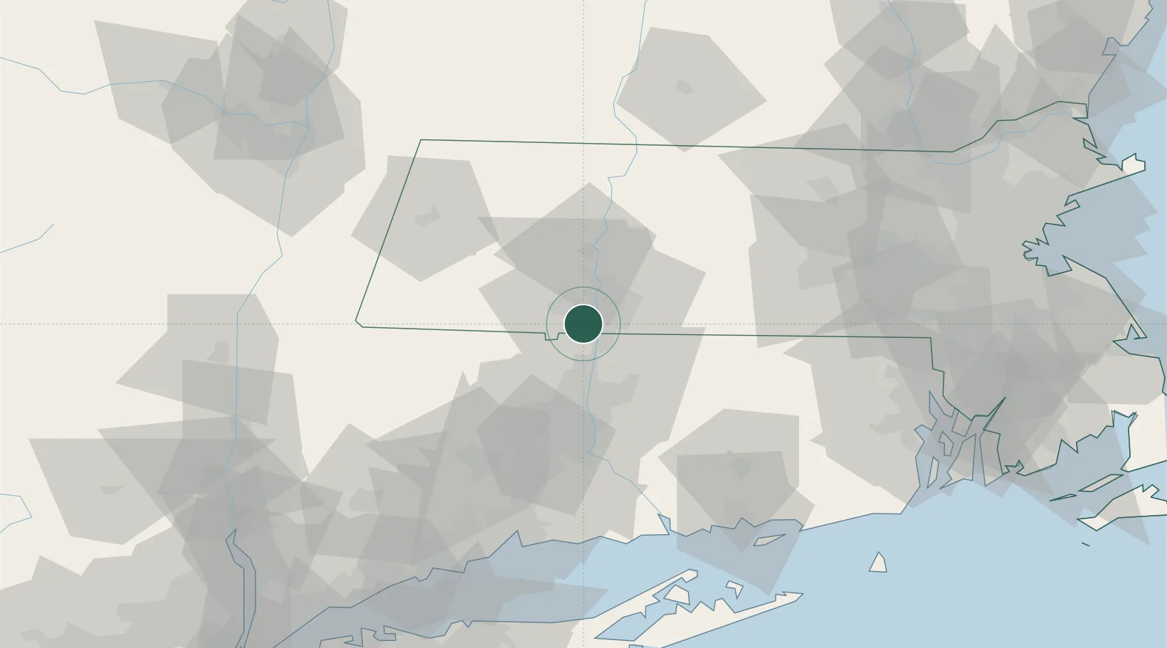
Nearby Logistics Neighbours

Cities
  1. 1Longmeadow7 km
  2. 2East Windsor19 km
  3. 3Russell20 km
  4. 4Broad Brook22 km
  5. 5Ellington25 km
Nearest neighbours — logibook spatial index (haversine) over the source coordinates
Ports
  1. 1Norwich78 km
  2. 2Essex83 km
  3. 3New London93 km
  4. 4New Haven95 km
  5. 5Mystic99 km
Nearest neighbours — logibook spatial index (haversine) over the source coordinates
Airports
  1. 1Westfield-Barnes Regional Airport11 km
  2. 2Bradley International Airport14 km
  3. 3Westover Metropolitan Airport / Westover Air Reserve Base18 km
  4. 4Hartford Brainard Airport37 km
  5. 5Worcester Regional Airport69 km
Nearest neighbours — logibook spatial index (haversine) over the source coordinates
Trade Zones
  1. 1FTZ No. 071 Windsor Locks16 km
  2. 2FTZ No. 201 Holyoke18 km
  3. 3FTZ No. 162 New Haven87 km
  4. 4FTZ No. 268 Brattleboro88 km
  5. 5FTZ No. 208 New London92 km
Nearest neighbours — logibook spatial index (haversine) over the source coordinates
DatabookThe Record of Consolidated Knowledge
United States beyond logistics?
Browse databook

All Sources

LocationsUN/LOCODE
UN/LOCODE — free
Portsthe NGA World Port Index
Public domain (US gov)
AirportsOurAirports
Public domain
Trade Zonesthe World Bank SEZ database
CC BY 4.0
Trade ZonesOpen Zone Map
CC BY
← United States locations