UN/LOCODE hub · United States
USZLW
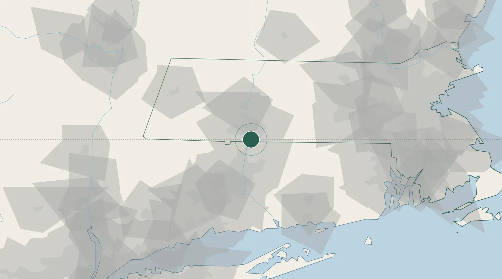
Longmeadow
42.0500°, -72.5833°
15,784
Population
4
Transport functions
Transport Functions
Port
Rail
Road
Multimodal
Hub Profile
Place type
Populated place
Region
Massachusetts
Population
15,784
Time zone
America/New_York
Elevation
49 m
Location
Nearby Logistics Neighbours
Cities
- 1Feeding Hills7 km
- 2East Windsor15 km
- 3Broad Brook17 km
- 4Ellington19 km
- 5Rockville23 km
Ports
- 1Norwich72 km
- 2Essex80 km
- 3New London88 km
- 4Mystic93 km
- 5New Haven95 km
Airports
Trade Zones
- 1FTZ No. 071 Windsor Locks14 km
- 2FTZ No. 201 Holyoke22 km
- 3FTZ No. 208 New London87 km
- 4FTZ No. 162 New Haven88 km
- 5FTZ No. 268 Brattleboro90 km
DatabookThe Record of Consolidated Knowledge
United States beyond logistics?