UN/LOCODE hub · United States
USNNN
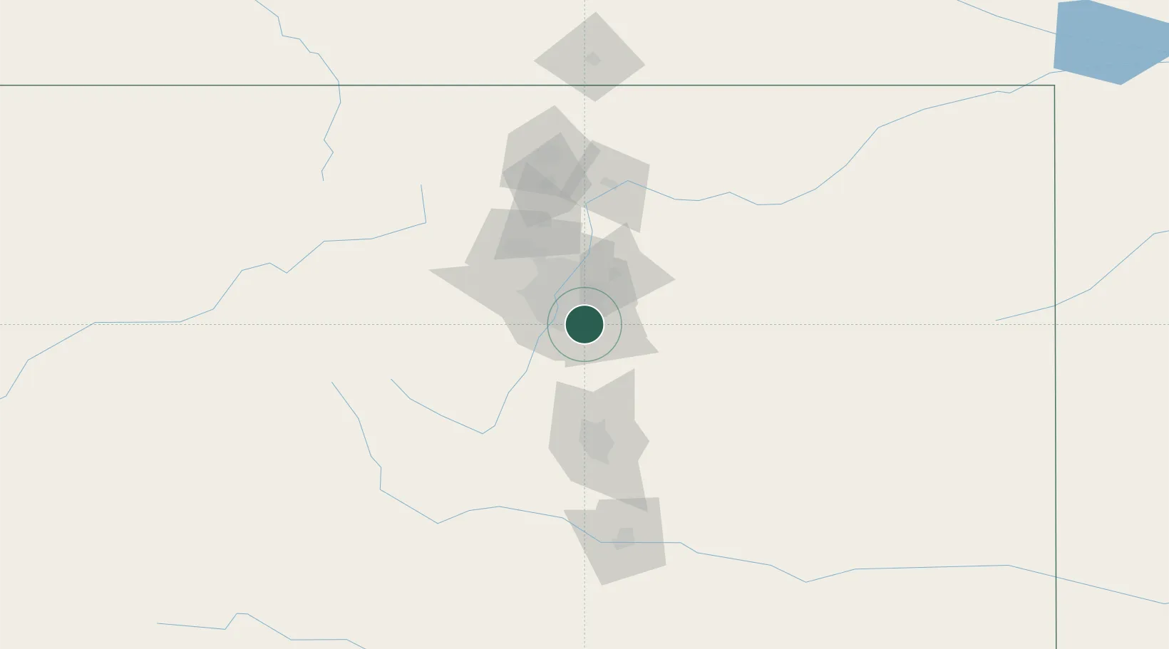
Centennial
39.5667°, -104.8667°
109,741
Population
2
Transport functions
Transport Functions
Road
Multimodal
Hub Profile
Place type
Populated place
Region
Colorado
Population
109,741
Time zone
America/Denver
Elevation
1,777 m
Location
Nearby Logistics Neighbours
Cities
- 1Loan Tree4 km
- 2Lone Tree4 km
- 3Gateway5 km
- 4Highlands Ranch9 km
- 5Parker11 km
Ports
- 1Duluth1306 km
- 2Superior1306 km
- 3Newport Beach1337 km
- 4San Diego1341 km
- 5Rosarito1359 km
Airports
Trade Zones
- 1FTZ No. 123 Denver22 km
- 2FTZ No. 298 Jefferson County31 km
- 3FTZ No. 112 Colorado Springs82 km
- 4FTZ No. 293 Limon107 km
- 5FTZ No. 110 Albuquerque528 km
DatabookThe Record of Consolidated Knowledge
United States beyond logistics?