UN/LOCODE hub · United States
USLT4

Loan Tree

39.6000°, -104.8667°
2
Transport functions

Transport Functions

Road
Multimodal
UN/LOCODE

Hub Profile

Region
CO
GeoNames

Location

Location of USLT4
Natural Earth 10m (public domain) · CO · USLT4 · 39.60, -104.87GoogleOSMYandex

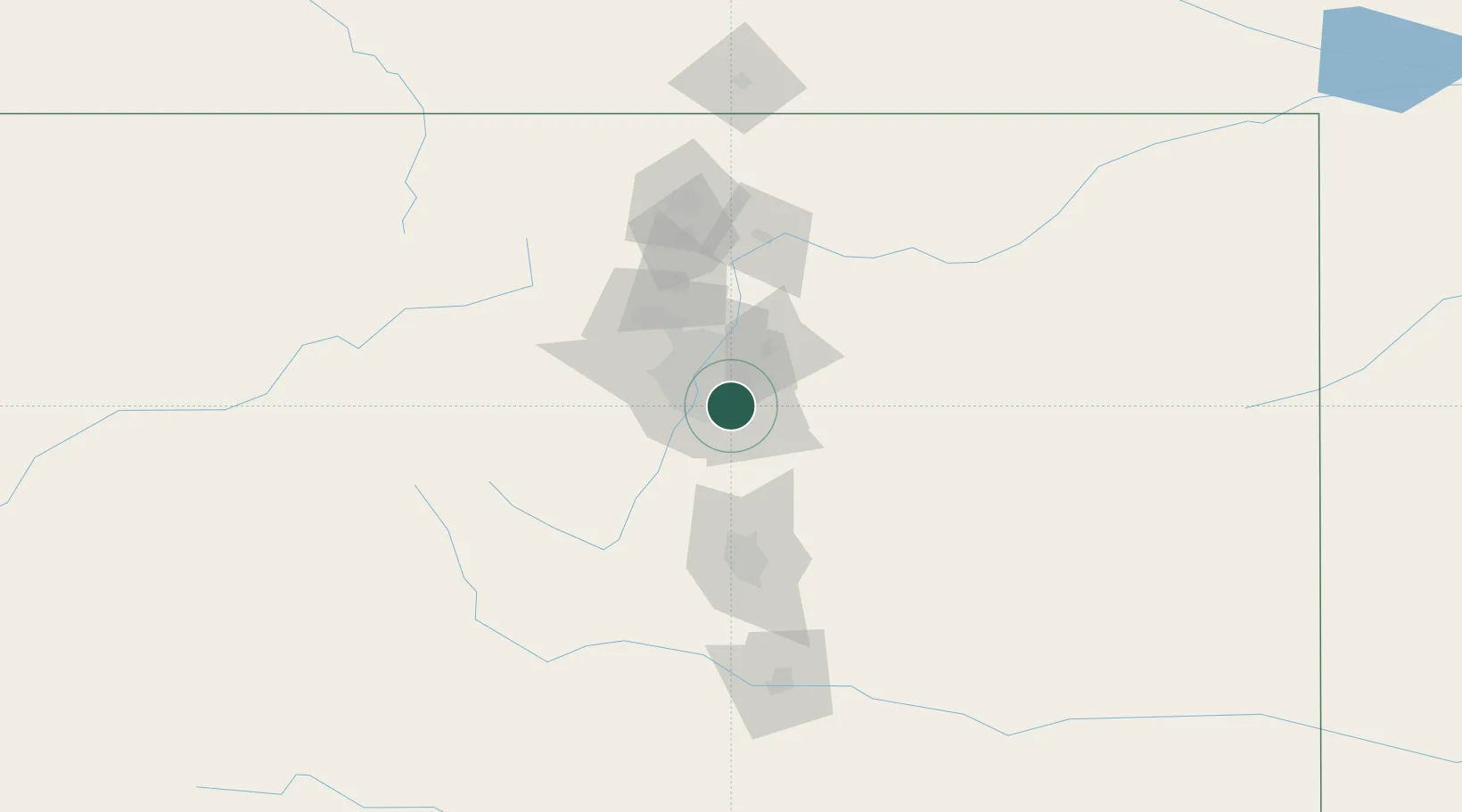
Nearby Logistics Neighbours

Cities
  1. 1Centennial4 km
  2. 2Lone Tree8 km
  3. 3Gateway8 km
  4. 4Highlands Ranch10 km
  5. 5Glendale13 km
Nearest neighbours — logibook spatial index (haversine) over the source coordinates
Ports
  1. 1Duluth1304 km
  2. 2Superior1304 km
  3. 3Newport Beach1338 km
  4. 4San Diego1343 km
  5. 5Rosarito1361 km
Nearest neighbours — logibook spatial index (haversine) over the source coordinates
Airports
  1. 1Centennial Airport4 km
  2. 2Buckley Space Force Base15 km
  3. 3Denver International Airport33 km
  4. 4Rocky Mountain Metropolitan Airport41 km
  5. 5City of Colorado Springs Municipal Airport90 km
Nearest neighbours — logibook spatial index (haversine) over the source coordinates
Trade Zones
  1. 1FTZ No. 123 Denver19 km
  2. 2FTZ No. 298 Jefferson County29 km
  3. 3FTZ No. 112 Colorado Springs85 km
  4. 4FTZ No. 293 Limon108 km
  5. 5FTZ No. 110 Albuquerque531 km
Nearest neighbours — logibook spatial index (haversine) over the source coordinates
DatabookThe Record of Consolidated Knowledge
United States beyond logistics?
Browse databook

All Sources

LocationsUN/LOCODE
UN/LOCODE — free
Portsthe NGA World Port Index
Public domain (US gov)
AirportsOurAirports
Public domain
Trade Zonesthe World Bank SEZ database
CC BY 4.0
Trade ZonesOpen Zone Map
CC BY
← United States locations