Medium airport · United States

Cobb County International Airport-McCollum FieldKRYY
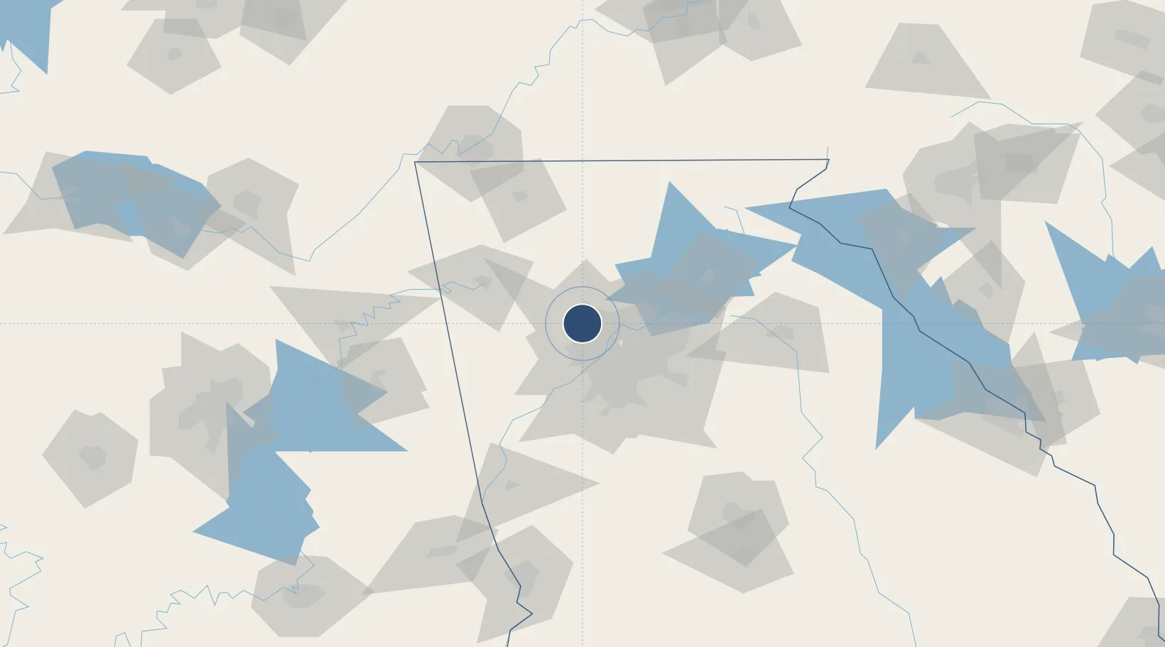
34.0132°, -84.5972°
6,295 ft
Longest runway
1
Runways
1,040 ft
Elevation

Runway & Layout

Cobb County International Airport-McCollum Field runway & taxiway layout
Runway & taxiway layout — OpenStreetMap (ODbL) / OurAirports

Radio Frequencies

AWOS
128.125 MHz
AWOS 3
TWR
125.9 MHz
MC COLLUM TWR
GND
119 MHz
CTAF
125.9 MHz
A/D
121 MHz
ATLANTA APP/DEP
UNIC
122.7 MHz
UNICOM
OurAirports

Runways · 1

RunwayDimensions SurfaceTrue headingLit
09/27 6,295 × 100ft Asphalt 089°
OurAirports

Airport Specifications

ICAO code
KRYY
OurAirports
Airport class
Medium airport
OurAirports
Scheduled service
No
OurAirports
Runway surface
Asphalt
OurAirports
Served city
Atlanta
OurAirports

Location

Location of KRYY
Natural Earth 10m (public domain) · Georgia · KRYY · 34.01, -84.60GoogleOSMYandex

Nearby Logistics Neighbours

Airports
  1. 1Dobbins Air Reserve Base13 km
  2. 2Fulton County Airport Brown Field27 km
  3. 3DeKalb Peachtree Airport31 km
  4. 4Hartsfield Jackson Atlanta International Airport45 km
  5. 5Richard B Russell Airport64 km
Nearest neighbours — logibook spatial index (haversine) over the source coordinates
Cities
  1. 1Sandy Springs24 km
  2. 2Dunwoody25 km
  3. 3Taylorsville36 km
  4. 4Johns Creek38 km
  5. 5Rockmart40 km
Nearest neighbours — logibook spatial index (haversine) over the source coordinates
Ports
  1. 1Savannah392 km
  2. 2Beaufort406 km
  3. 3Port Royal408 km
  4. 4Darien417 km
  5. 5Brunswick431 km
Nearest neighbours — logibook spatial index (haversine) over the source coordinates
Trade Zones
  1. 1FTZ No. 026 Atlanta34 km
  2. 2FTZ No. 134 Chattanooga140 km
  3. 3FTZ No. 083 Huntsville211 km
  4. 4FTZ No. 098 Birmingham212 km
  5. 5FTZ No. 148 Knoxville222 km
Nearest neighbours — logibook spatial index (haversine) over the source coordinates
DatabookThe Record of Consolidated Knowledge
United States beyond logistics?
Browse databook

All Sources

AirportsOurAirports
Public domain
Portsthe NGA World Port Index
Public domain (US gov)
LocationsUN/LOCODE
UN/LOCODE — free
Trade Zonesthe World Bank SEZ database
CC BY 4.0
Trade ZonesOpen Zone Map
CC BY
InfrastructureOpenStreetMap
ODbL 1.0
← United States airports