Medium airport · United States
North Las Vegas AirportKVGT
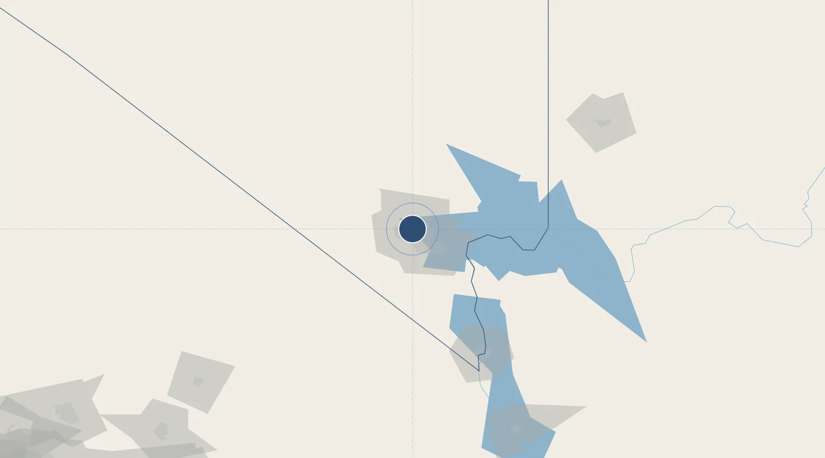
36.2091°, -115.1940°
5,005 ft
Longest runway
3
Runways
2,205 ft
Elevation
Runway & Layout

Radio Frequencies
ATIS
118.05 MHz
ASOS
118.05 MHz
TWR
125.7 MHz
GND
121.7 MHz
CLD
124 MHz
CLNC DEL
APP
118.125 MHz
NELLIS APP
CTAF
125.7 MHz
A/D
119.4 MHz
LAS VEGAS APP
UNIC
122.95 MHz
UNICOM
Runways · 3
| Runway | Dimensions | Surface | True heading | Lit |
|---|---|---|---|---|
| 07/25 | 5,005 × 75ft | Asphalt | 089° | ✓ |
| 12R/30L | 5,000 × 75ft | Asphalt | 134° | ✓ |
| 12L/30R | 4,199 × 75ft | Asphalt | 134° | ✓ |
Airport Specifications
IATA code
VGT
ICAO code
KVGT
Airport class
Medium airport
Scheduled service
No
Runway surface
Asphalt
Served city
Las Vegas
Location
Nearby Logistics Neighbours
Airports
- 1Harry Reid International Airport15 km
- 2Nellis Air Force Base15 km
- 3Boulder City Municipal Airport42 km
- 4Desert Rock Airport88 km
- 5Mesquite Airport123 km
Cities
- 1North Las Vegas8 km
- 2Las Vegas12 km
- 3Nellis Air Force Base18 km
- 4Jean49 km
- 5Primm70 km
Ports
- 1Newport Beach379 km
- 2Long Beach385 km
- 3El Segundo390 km
- 4Los Angeles390 km
- 5Avalon427 km
Trade Zones
- 1FTZ No. 170 Clark County87 km
- 2FTZ No. 089 Clark County87 km
- 3FTZ No. 243 Victorville268 km
- 4FTZ No. 236 Palm Springs291 km
- 5FTZ No. 244 Riverside County319 km
DatabookThe Record of Consolidated Knowledge
United States beyond logistics?