Transport Functions
Multimodal
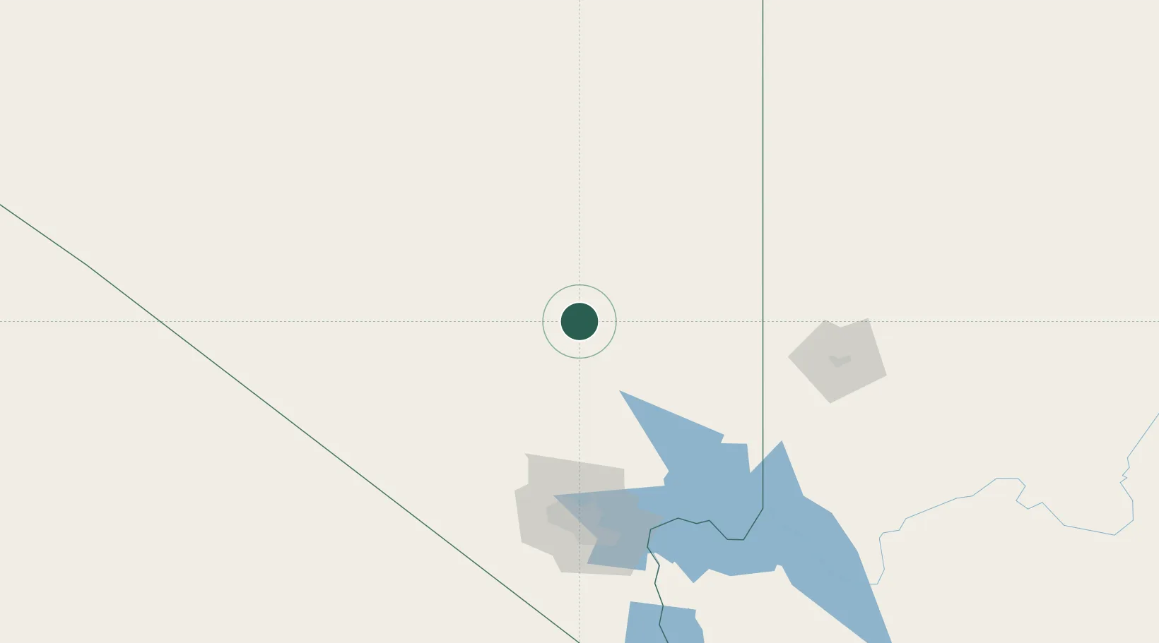
Hub Profile
Place type
Populated place
Region
Nevada
Population
1,080
Time zone
America/Los_Angeles
Elevation
1,057 m
Location
Nearby Logistics Neighbours
Cities
- 1Overton, Clark110 km
- 2Nellis Air Force Base123 km
- 3North Las Vegas123 km
- 4Las Vegas128 km
- 5Enterprise, Washington129 km
Ports
- 1El Segundo483 km
- 2Long Beach484 km
- 3Newport Beach484 km
- 4Los Angeles489 km
- 5Ventura505 km
Airports
- 1Homey (Area 51) Airport60 km
- 2Mesquite Airport113 km
- 3Desert Rock Airport113 km
- 4Nellis Air Force Base124 km
- 5North Las Vegas Airport127 km
Trade Zones
- 1FTZ No. 170 Clark County180 km
- 2FTZ No. 089 Clark County180 km
- 3FTZ No. 243 Victorville367 km
- 4FTZ No. 191 Palmdale408 km
- 5FTZ No. 276 Kern County410 km
DatabookThe Record of Consolidated Knowledge
United States beyond logistics?