UN/LOCODE hub · United States
USNS8
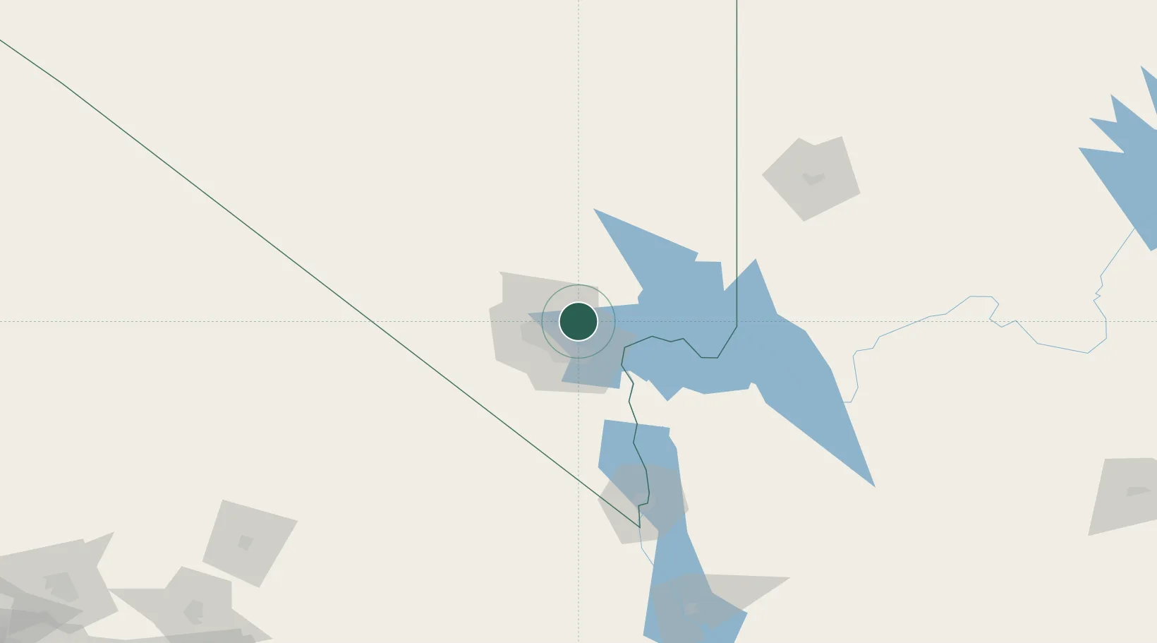
Nellis Air Force Base
36.2500°, -115.0000°
3,187
Population
2
Transport functions
Transport Functions
Rail
Road
Hub Profile
Place type
Populated place
Region
Nevada
Population
3,187
Time zone
America/Los_Angeles
Elevation
576 m
Location
Nearby Logistics Neighbours
Cities
- 1Las Vegas8 km
- 2North Las Vegas10 km
- 3Overton, Clark58 km
- 4Jean59 km
- 5Primm80 km
Ports
- 1Newport Beach395 km
- 2Long Beach400 km
- 3Los Angeles406 km
- 4El Segundo406 km
- 5San Diego441 km
Airports
Trade Zones
- 1FTZ No. 170 Clark County105 km
- 2FTZ No. 089 Clark County105 km
- 3FTZ No. 243 Victorville284 km
- 4FTZ No. 236 Palm Springs303 km
- 5FTZ No. 244 Riverside County333 km
DatabookThe Record of Consolidated Knowledge
United States beyond logistics?