UN/LOCODE hub · Iran
IRMRX
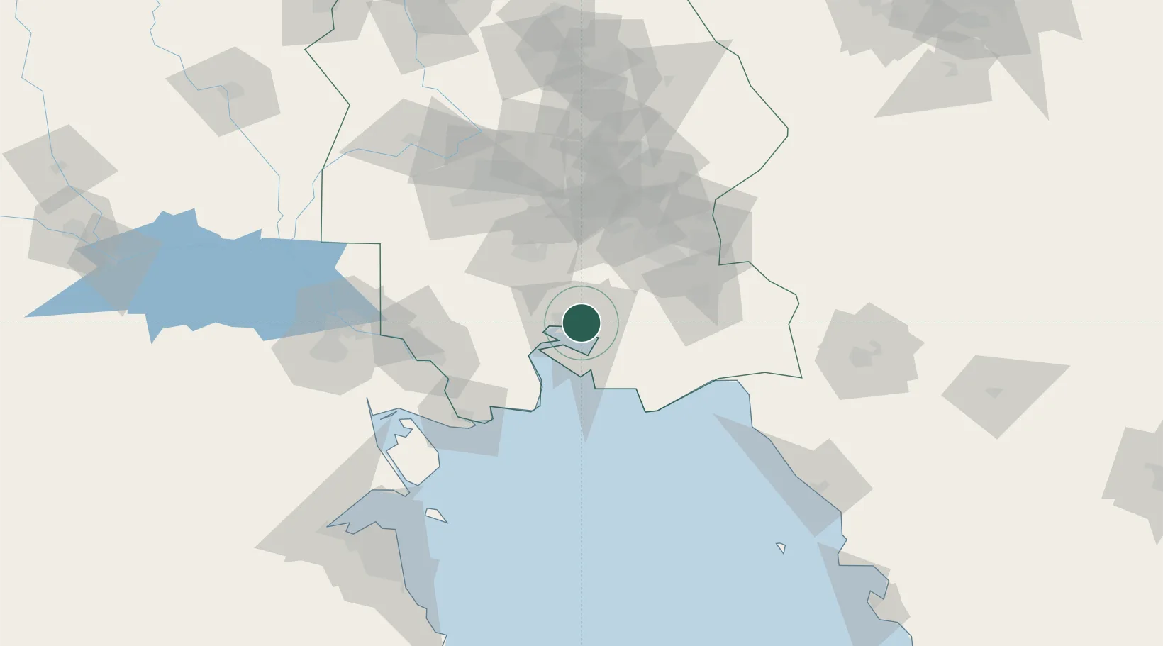
Bandar-e Måh Shahr
30.5333°, 49.1667°
162,797
Population
4
Transport functions
Transport Functions
Port
Rail
Road
Airport
Hub Profile
Place type
Provincial seat
Region
Khuzestan
Population
162,797
Time zone
Asia/Tehran
Elevation
8 m
Location
Nearby Logistics Neighbours
Cities
- 1Bandar Mashur2 km
- 2Bandar-e Emam Khomeyni13 km
- 3Bandar Khomeini13 km
- 4Imam Khomeini Pt/ Mahshahr City16 km
- 5Basrah Oil Terminal93 km
Ports
- 1Bandar Khomeyni14 km
- 2Abadan88 km
- 3Khawr Al Amaya91 km
- 4Khorramshahr95 km
- 5Al-Basra Oil Terminal100 km
Airports
Trade Zones
DatabookThe Record of Consolidated Knowledge
Iran beyond logistics?