Runway & Layout

Airport Specifications
Airport class
Small airport
Scheduled service
Yes
Served city
Alemson
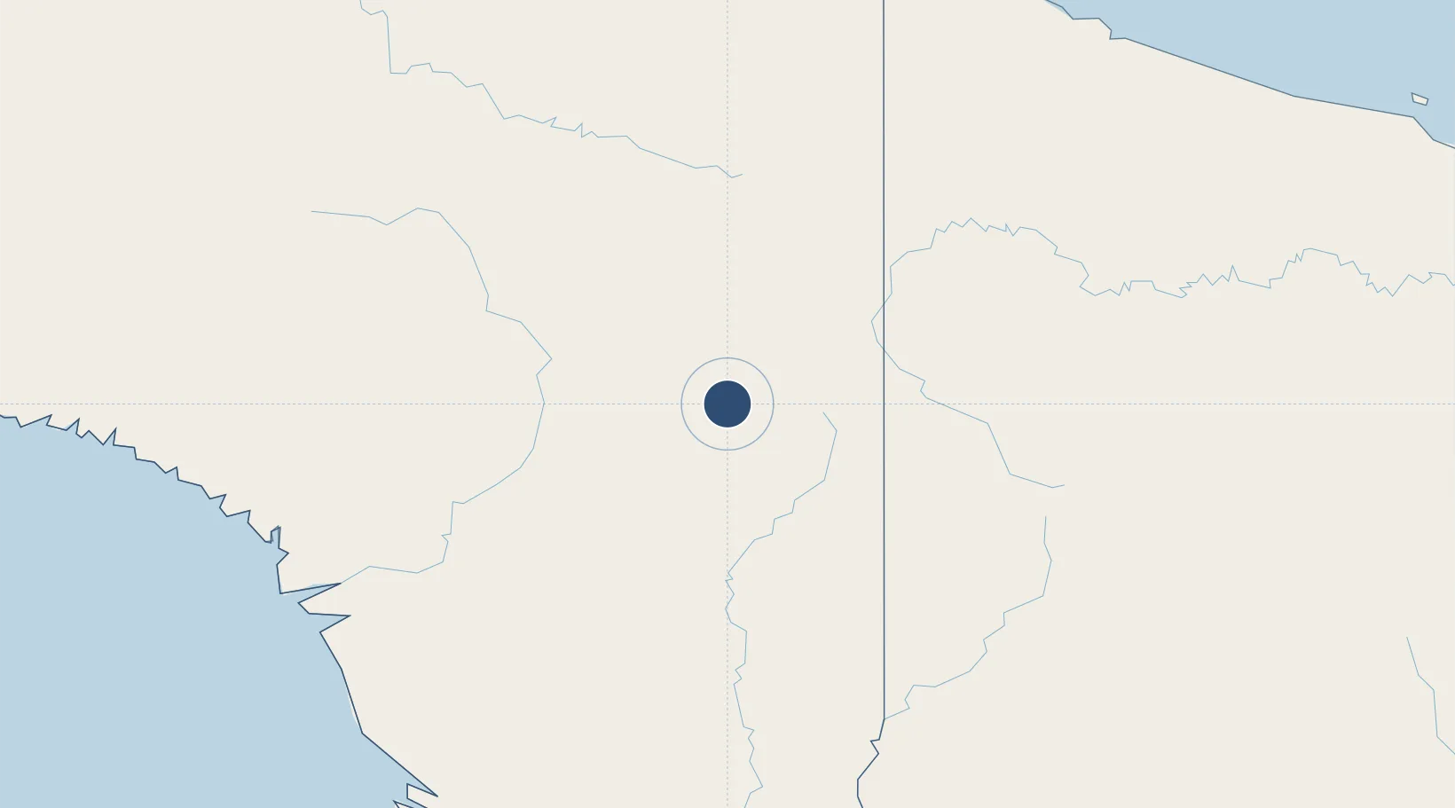
Location
Nearby Logistics Neighbours
Airports
- 1Suntamon Airport6 km
- 2Sape Airstrip32 km
- 3Okbab Airstrip40 km
- 4Kaklup Airstrip41 km
- 5Pedam Airstrip41 km
Cities
- 1Asike205 km
- 2Jayapura, Irian Jaya258 km
- 3Kassue265 km
- 4Demta276 km
- 5Aiambak304 km
Ports
- 1Vanimo258 km
- 2Amamapare361 km
- 3Wewak Harbor403 km
- 4Merauke408 km
- 5Daru576 km
Trade Zones
DatabookThe Record of Consolidated Knowledge
Indonesia beyond logistics?