Runway & Layout

Airport Specifications
Airport class
Small airport
Scheduled service
Yes
Served city
Sape
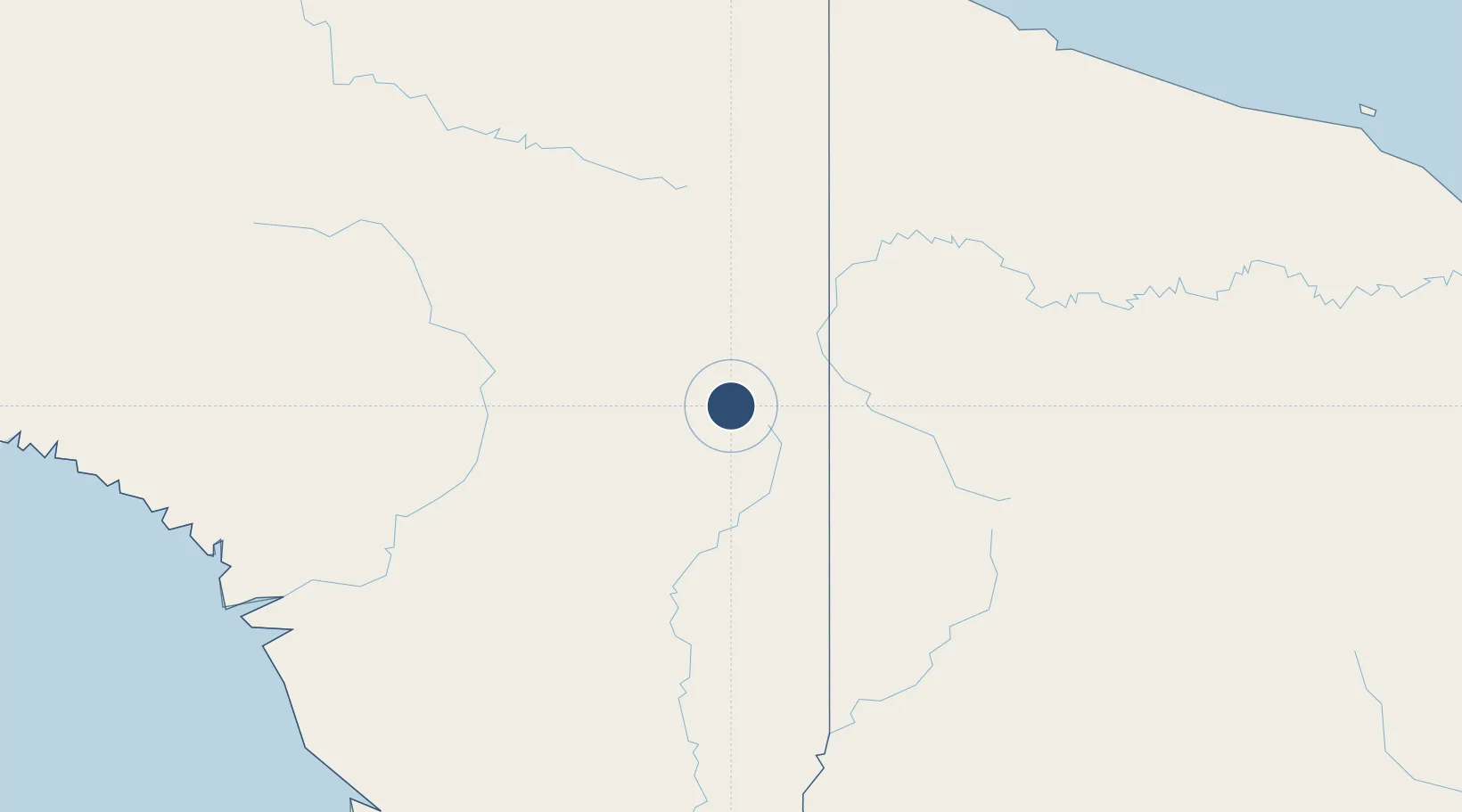
Location
Nearby Logistics Neighbours
Airports
- 1Kaklup Airstrip16 km
- 2Okbab Airstrip20 km
- 3Binban Airstrip20 km
- 4Maksum Airstrip21 km
- 5Oksibil Airport21 km
Cities
- 1Asike210 km
- 2Jayapura, Irian Jaya248 km
- 3Demta274 km
- 4Kassue285 km
- 5Aiambak300 km
Ports
- 1Vanimo242 km
- 2Wewak Harbor372 km
- 3Amamapare392 km
- 4Merauke414 km
- 5Daru563 km
Trade Zones
DatabookThe Record of Consolidated Knowledge
Indonesia beyond logistics?