Small airport · Indonesia

Pedam AirstripID-0207

-4.5395°, 140.4620°
6,400 ft
Elevation

Runway & Layout

Pedam Airstrip runway & taxiway layout
Runway & taxiway layout — OpenStreetMap (ODbL) / OurAirports

Airport Specifications

Airport class
Small airport
OurAirports
Scheduled service
Yes
OurAirports
Served city
Pegunungan Bintang Regency
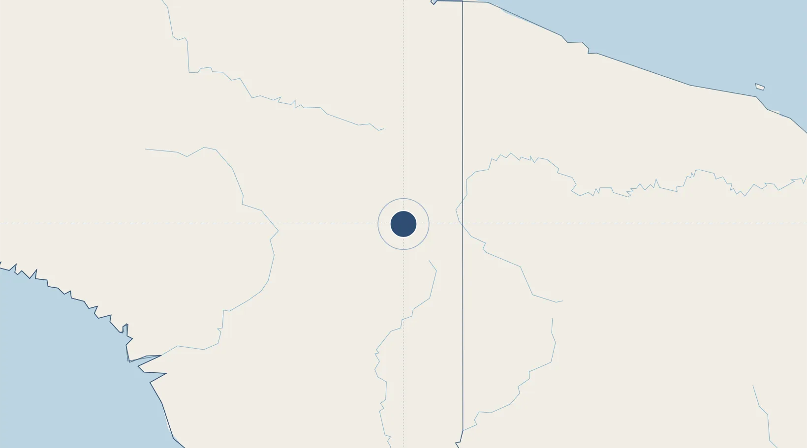
OurAirports

Location

Location of ID-0207
Natural Earth 10m (public domain) · Papua · ID-0207 · -4.54, 140.46GoogleOSMYandex

Nearby Logistics Neighbours

Airports
  1. 1Okbab Airstrip7 km
  2. 2Maksum Airstrip8 km
  3. 3Binban Airstrip10 km
  4. 4Dumpasik Airstrip11 km
  5. 5Kirimu Airstrip11 km
Nearest neighbours — logibook spatial index (haversine) over the source coordinates
Cities
  1. 1Jayapura, Irian Jaya224 km
  2. 2Asike235 km
  3. 3Demta248 km
  4. 4Kassue305 km
  5. 5Yentchan312 km
Nearest neighbours — logibook spatial index (haversine) over the source coordinates
Ports
  1. 1Vanimo219 km
  2. 2Wewak Harbor368 km
  3. 3Amamapare389 km
  4. 4Merauke439 km
  5. 5Daru587 km
Nearest neighbours — logibook spatial index (haversine) over the source coordinates
Trade Zones
  1. 1Sandaun Special Economic Zone81 km
  2. 2Sepik Special Economic Zone141 km
  3. 3Vanimo Special Economic Zone225 km
  4. 4Western Province Special Economic Zone267 km
  5. 5Manus Special Economic Zone442 km
Nearest neighbours — logibook spatial index (haversine) over the source coordinates
DatabookThe Record of Consolidated Knowledge
Indonesia beyond logistics?
Browse databook

All Sources

AirportsOurAirports
Public domain
Portsthe NGA World Port Index
Public domain (US gov)
LocationsUN/LOCODE
UN/LOCODE — free
Trade Zonesthe World Bank SEZ database
CC BY 4.0
Trade ZonesOpen Zone Map
CC BY
InfrastructureOpenStreetMap
ODbL 1.0
← Indonesia airports