Runway & Layout

Airport Specifications
Airport class
Small airport
Scheduled service
Yes
Served city
Kaklup
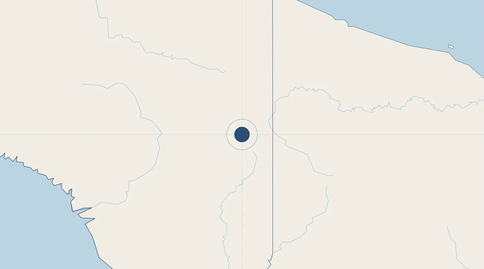
Location
Nearby Logistics Neighbours
Airports
- 1Binban Airstrip4 km
- 2Maksum Airstrip5 km
- 3Okbab Airstrip5 km
- 4Yapil Airstrip10 km
- 5Mipol Airstrip12 km
Cities
- 1Asike226 km
- 2Jayapura, Irian Jaya232 km
- 3Demta258 km
- 4Kassue300 km
- 5Yentchan306 km
Ports
- 1Vanimo226 km
- 2Wewak Harbor363 km
- 3Amamapare396 km
- 4Merauke430 km
- 5Daru575 km
Trade Zones
DatabookThe Record of Consolidated Knowledge
Indonesia beyond logistics?