Runway & Layout

Airport Specifications
Airport class
Small airport
Scheduled service
Yes
Served city
Okbab
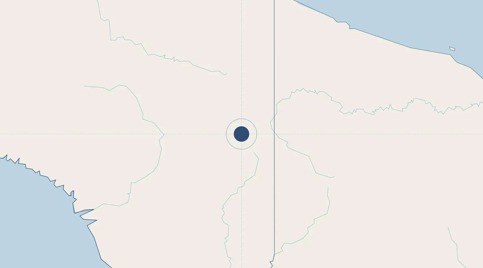
Location
Nearby Logistics Neighbours
Airports
- 1Maksum Airstrip2 km
- 2Binban Airstrip4 km
- 3Kaklup Airstrip5 km
- 4Pedam Airstrip7 km
- 5Yapil Airstrip9 km
Cities
- 1Jayapura, Irian Jaya228 km
- 2Asike230 km
- 3Demta254 km
- 4Kassue302 km
- 5Yentchan309 km
Ports
- 1Vanimo223 km
- 2Wewak Harbor366 km
- 3Amamapare392 km
- 4Merauke434 km
- 5Daru581 km
Trade Zones
DatabookThe Record of Consolidated Knowledge
Indonesia beyond logistics?