Small airport · Indonesia

Maksum AirstripID-0205

-4.5807°, 140.5160°
5,500 ft
Elevation

Runway & Layout

Maksum Airstrip runway & taxiway layout
Runway & taxiway layout — OpenStreetMap (ODbL) / OurAirports

Airport Specifications

Airport class
Small airport
OurAirports
Scheduled service
Yes
OurAirports
Served city
Pegunungan Bintang Regency
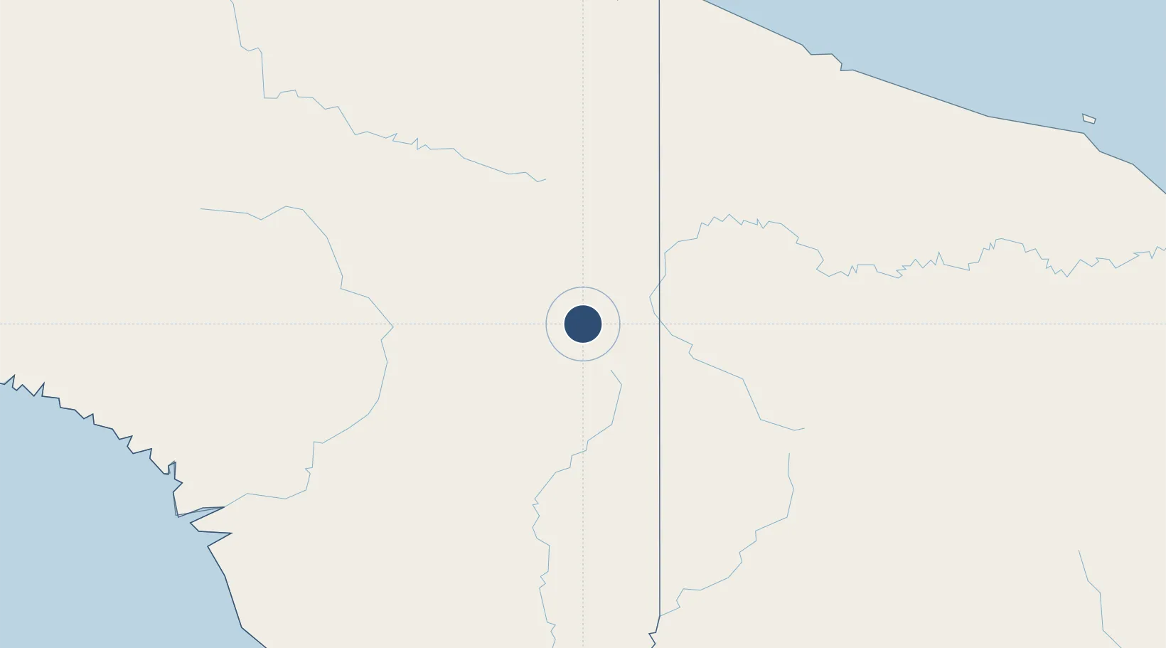
OurAirports

Location

Location of ID-0205
Natural Earth 10m (public domain) · Papua · ID-0205 · -4.58, 140.52GoogleOSMYandex

Nearby Logistics Neighbours

Airports
  1. 1Okbab Airstrip2 km
  2. 2Binban Airstrip2 km
  3. 3Kaklup Airstrip5 km
  4. 4Yapil Airstrip7 km
  5. 5Pedam Airstrip8 km
Nearest neighbours — logibook spatial index (haversine) over the source coordinates
Cities
  1. 1Jayapura, Irian Jaya227 km
  2. 2Asike230 km
  3. 3Demta254 km
  4. 4Kassue303 km
  5. 5Yentchan307 km
Nearest neighbours — logibook spatial index (haversine) over the source coordinates
Ports
  1. 1Vanimo222 km
  2. 2Wewak Harbor364 km
  3. 3Amamapare394 km
  4. 4Merauke434 km
  5. 5Daru580 km
Nearest neighbours — logibook spatial index (haversine) over the source coordinates
Trade Zones
  1. 1Sandaun Special Economic Zone81 km
  2. 2Sepik Special Economic Zone137 km
  3. 3Vanimo Special Economic Zone227 km
  4. 4Western Province Special Economic Zone264 km
  5. 5Manus Special Economic Zone442 km
Nearest neighbours — logibook spatial index (haversine) over the source coordinates
DatabookThe Record of Consolidated Knowledge
Indonesia beyond logistics?
Browse databook

All Sources

AirportsOurAirports
Public domain
Portsthe NGA World Port Index
Public domain (US gov)
LocationsUN/LOCODE
UN/LOCODE — free
Trade Zonesthe World Bank SEZ database
CC BY 4.0
Trade ZonesOpen Zone Map
CC BY
InfrastructureOpenStreetMap
ODbL 1.0
← Indonesia airports