Medium airport · Indonesia
Oksibil AirportWAJO
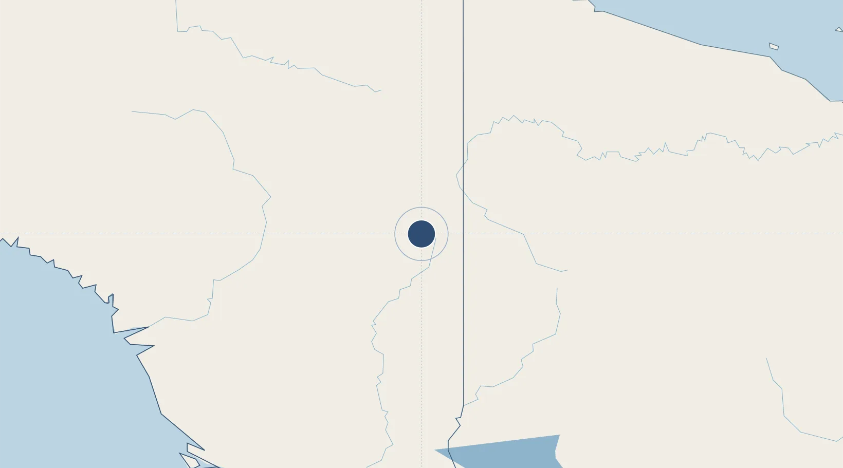
-4.9071°, 140.6277°
2,854 ft
Longest runway
2
Runways
4,315 ft
Elevation
Runway & Layout

Navaids
ZX NDB Oksibil 342 kHz
Runways · 2
| Runway | Dimensions | Surface | True heading | Lit |
|---|---|---|---|---|
| 11/29 | 2,854 × 59ft | — | — | — |
| error/error | — | — | — | — |
Airport Specifications
IATA code
OKL
ICAO code
WAJO
Airport class
Medium airport
Scheduled service
Yes
Served city
Oksibil
Location
Nearby Logistics Neighbours
Airports
- 1Molding Airstrip13 km
- 2Kubibkop Airport15 km
- 3Sape Airstrip21 km
- 4Oklip Airstrip23 km
- 5Kiwirok Airstrip25 km
Cities
- 1Asike195 km
- 2Jayapura, Irian Jaya263 km
- 3Kassue279 km
- 4Aiambak281 km
- 5Demta291 km
Ports
- 1Vanimo254 km
- 2Wewak Harbor365 km
- 3Merauke399 km
- 4Amamapare406 km
- 5Daru543 km
Trade Zones
DatabookThe Record of Consolidated Knowledge
Indonesia beyond logistics?