Medium airport · South Sudan
Malakal International AirportHSSM
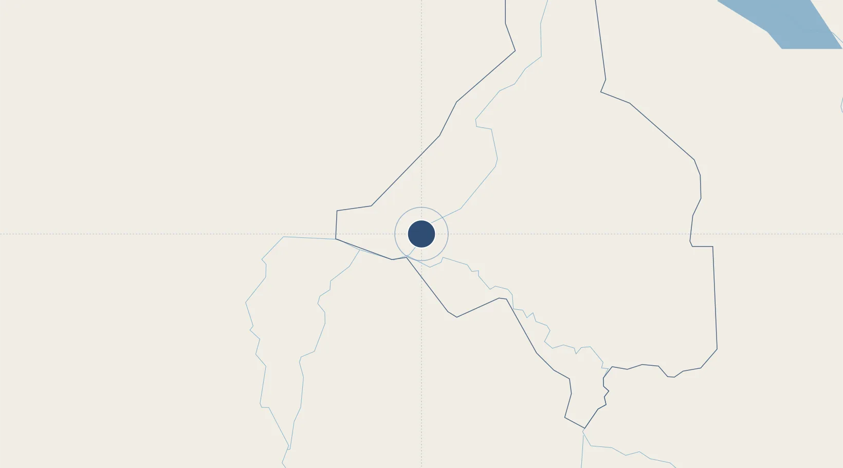
9.5587°, 31.6519°
6,562 ft
Longest runway
1
Runways
1,291 ft
Elevation
Runway & Layout

Radio Frequencies
INFO
118.2 MHz
Navaids
MLK VOR-DME Malakal 112.70 MHz
Runways · 1
| Runway | Dimensions | Surface | True heading | Lit |
|---|---|---|---|---|
| 04/22 | 6,562 × 125ft | Asphalt | 044° | — |
Airport Specifications
IATA code
MAK
ICAO code
HSSM
Airport class
Medium airport
Scheduled service
Yes
Runway surface
Asphalt
Served city
Malakal
Location
Nearby Logistics Neighbours
Airports
- 1Paloich Airport142 km
- 2Asosa Airport326 km
- 3Gambela Airport357 km
- 4Dembidollo Airport369 km
- 5El-Obeid Airport429 km
Cities
- 1Rabak416 km
- 2Mojo827 km
- 3Mojo Dry Port829 km
- 4Moroto854 km
- 5Rwamagana857 km
Ports
- 1Mitsiwa Harbor1083 km
- 2Sawakin Harbor1229 km
- 3Port Sudan1267 km
- 4Assab1269 km
- 5Doraleh1270 km
Trade Zones
- 1Mokhalif Free Zone352 km
- 2Al-Jabayn Free Zone359 km
- 3Kosti Free Zone414 km
- 4Juba Specialised Economic Zone517 km
- 5Jimma Industrial Park607 km
DatabookThe Record of Consolidated Knowledge
South Sudan beyond logistics?