Medium airport · South Sudan
Paloich AirportHSFA
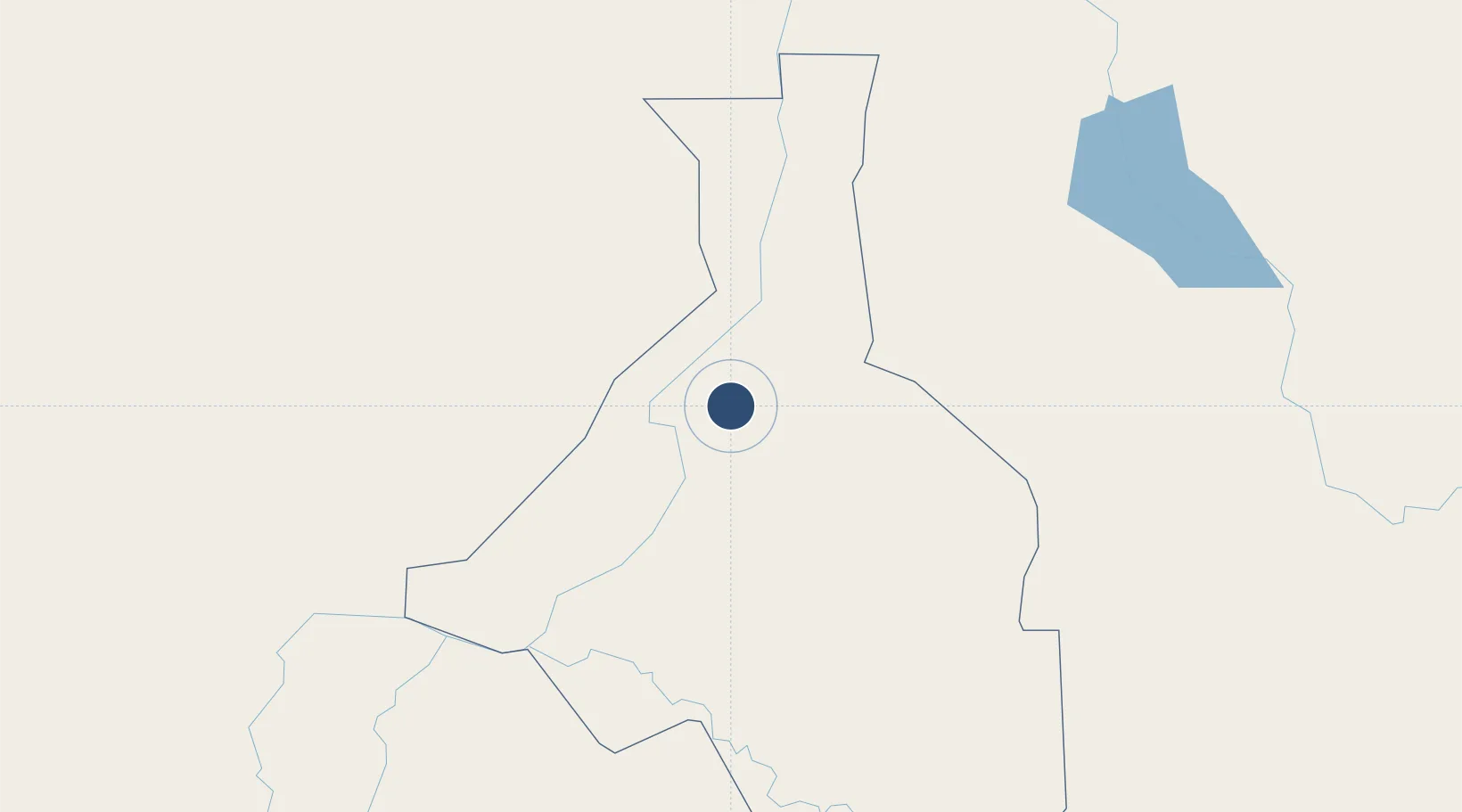
10.5292°, 32.5006°
8,202 ft
Longest runway
1
Runways
1,290 ft
Elevation
Runway & Layout

Radio Frequencies
App/TWR
128.7 MHz
HF
11.3 MHz
Runways · 1
| Runway | Dimensions | Surface | True heading | Lit |
|---|---|---|---|---|
| 01/19 | 8,202 × 147ft | Asphalt | — | — |
Airport Specifications
ICAO code
HJPH
Airport class
Medium airport
Scheduled service
No
Runway surface
Asphalt
Served city
Higleig
Location
Nearby Logistics Neighbours
Airports
- 1Malakal International Airport142 km
- 2Asosa Airport235 km
- 3Dembidollo Airport339 km
- 4Gambela Airport350 km
- 5El-Obeid Airport382 km
Cities
- 1Rabak293 km
- 2Mojo757 km
- 3Mojo Dry Port759 km
- 4Asmara878 km
- 5Moroto926 km
Ports
- 1Mitsiwa Harbor943 km
- 2Sawakin Harbor1089 km
- 3Port Sudan1129 km
- 4Assab1149 km
- 5Doraleh1162 km
Trade Zones
- 1Mokhalif Free Zone222 km
- 2Al-Jabayn Free Zone231 km
- 3Kosti Free Zone291 km
- 4Gallabat Free Zone481 km
- 5Bahir Dar Industrial Park540 km
DatabookThe Record of Consolidated Knowledge
South Sudan beyond logistics?