Large airport · Sudan
Khartoum International AirportHSSK
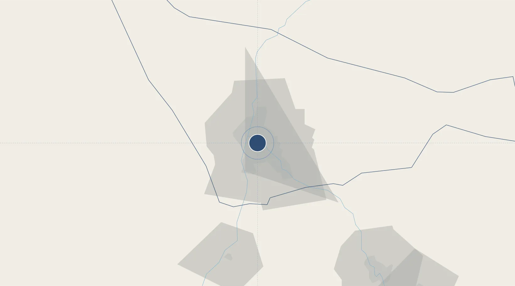
15.5895°, 32.5532°
9,751 ft
Longest runway
1
Runways
1,265 ft
Elevation
Runway & Layout

Radio Frequencies
TWR
119.2 MHz
Khartoum Tower
APP
124.7 MHz
Khartoum Approach
EMR
121.9 MHz
FIRE
North Area
125.4 MHz
North Sector
South Area
127.3 MHz
South Sector
Navaids
KTM VOR-DME Khartoum 112.10 MHz
Runways · 1
| Runway | Dimensions | Surface | True heading | Lit |
|---|---|---|---|---|
| 18/36 | 9,751 × 148ft | Asphalt | 177° | ✓ |
Airport Specifications
IATA code
KRT
ICAO code
HSSK
Airport class
Large airport
Scheduled service
Yes
Runway surface
Asphalt
Served city
Khartoum
Location
Nearby Logistics Neighbours
Airports
- 1Wadi Seidna Air Base25 km
- 2Merowe Airport326 km
- 3El-Obeid Airport369 km
- 4Kassala Airport405 km
- 5Dongola Airport456 km
Cities
- 1Rabak272 km
- 2Marsa Bashayer657 km
- 3Port Sudan666 km
- 4Asmara684 km
- 5Massawa (Mitsiwa)739 km
Ports
- 1Sawakin Harbor644 km
- 2Port Sudan667 km
- 3Mitsiwa Harbor740 km
- 4Jiddah958 km
- 5Rabigh1042 km
Trade Zones
- 1Garri Free Zone1 km
- 2Kosti Free Zone273 km
- 3Al-Jabayn Free Zone335 km
- 4Mokhalif Free Zone345 km
- 5Gallabat Free Zone486 km
DatabookThe Record of Consolidated Knowledge
Sudan beyond logistics?