UN/LOCODE hub · Eritrea
ERMSW

Massawa (Mitsiwa)

15.6000°, 39.4500°
4
Transport functions

Transport Functions

Port
Rail
Road
Airport
Massawa (Mitsiwa) is also a profiled seaport →
UN/LOCODE

Hub Profile

Region
SK
GeoNames

Location

Location of ERMSW
Natural Earth 10m (public domain) · SK · ERMSW · 15.60, 39.45GoogleOSMYandex

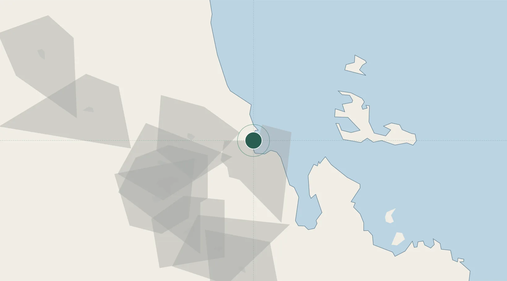
Nearby Logistics Neighbours

Cities
  1. 1Asmara63 km
  2. 2Ras Isa Terminal348 km
  3. 3Jizan356 km
  4. 4Al Qahmah358 km
  5. 5Jazan Economic City360 km
Nearest neighbours — logibook spatial index (haversine) over the source coordinates
Ports
  1. 1Ras Isa Marine Terminal342 km
  2. 2Salif346 km
  3. 3Jizan355 km
  4. 4Al Ahmadi387 km
  5. 5Sawakin Harbor452 km
Nearest neighbours — logibook spatial index (haversine) over the source coordinates
Airports
  1. 1Massawa International Airport12 km
  2. 2Asmara International Airport67 km
  3. 3Axum Airport177 km
  4. 4Shire Inda Selassie Airport212 km
  5. 5Mekele Alula Aba Nega Airport237 km
Nearest neighbours — logibook spatial index (haversine) over the source coordinates
Trade Zones
  1. 1Massawa Free Trade Zone3 km
  2. 2DBL Industrial Park234 km
  3. 3Mekelle Industrial Park234 km
  4. 4Vogue Industrial Park235 km
  5. 5Jazan Economic City365 km
Nearest neighbours — logibook spatial index (haversine) over the source coordinates
DatabookThe Record of Consolidated Knowledge
Eritrea beyond logistics?
Browse databook

All Sources

LocationsUN/LOCODE
UN/LOCODE — free
Portsthe NGA World Port Index
Public domain (US gov)
AirportsOurAirports
Public domain
Trade Zonesthe World Bank SEZ database
CC BY 4.0
Trade ZonesOpen Zone Map
CC BY
← Eritrea locations