Transport Functions
Rail
Road
Airport
Postal
Hub Profile
Place type
National capital
Region
Maekel
Population
563,930
Time zone
Africa/Asmara
Elevation
2,334 m
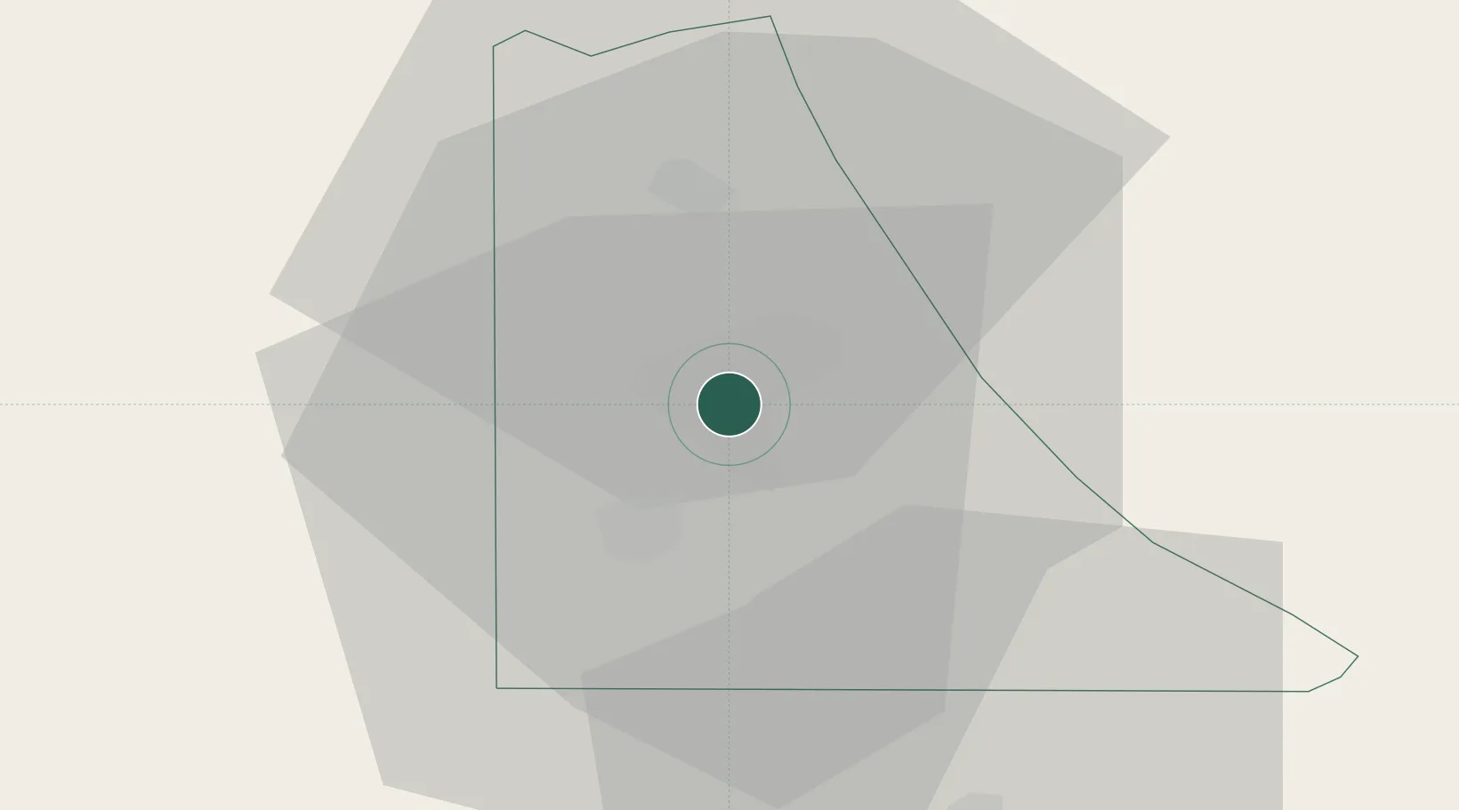
Location
Nearby Logistics Neighbours
Cities
- 1Massawa (Mitsiwa)63 km
- 2Ras Isa Terminal401 km
- 3Al Qahmah417 km
- 4Jizan419 km
- 5Jazan Economic City423 km
Ports
- 1Mitsiwa Harbor65 km
- 2Ras Isa Marine Terminal394 km
- 3Salif400 km
- 4Jizan417 km
- 5Al Ahmadi437 km
Airports
- 1Asmara International Airport5 km
- 2Massawa International Airport60 km
- 3Axum Airport133 km
- 4Shire Inda Selassie Airport157 km
- 5Mekele Alula Aba Nega Airport217 km
Trade Zones
- 1Massawa Free Trade Zone64 km
- 2DBL Industrial Park211 km
- 3Mekelle Industrial Park211 km
- 4Vogue Industrial Park216 km
- 5Gallabat Free Zone400 km
DatabookThe Record of Consolidated Knowledge
Eritrea beyond logistics?