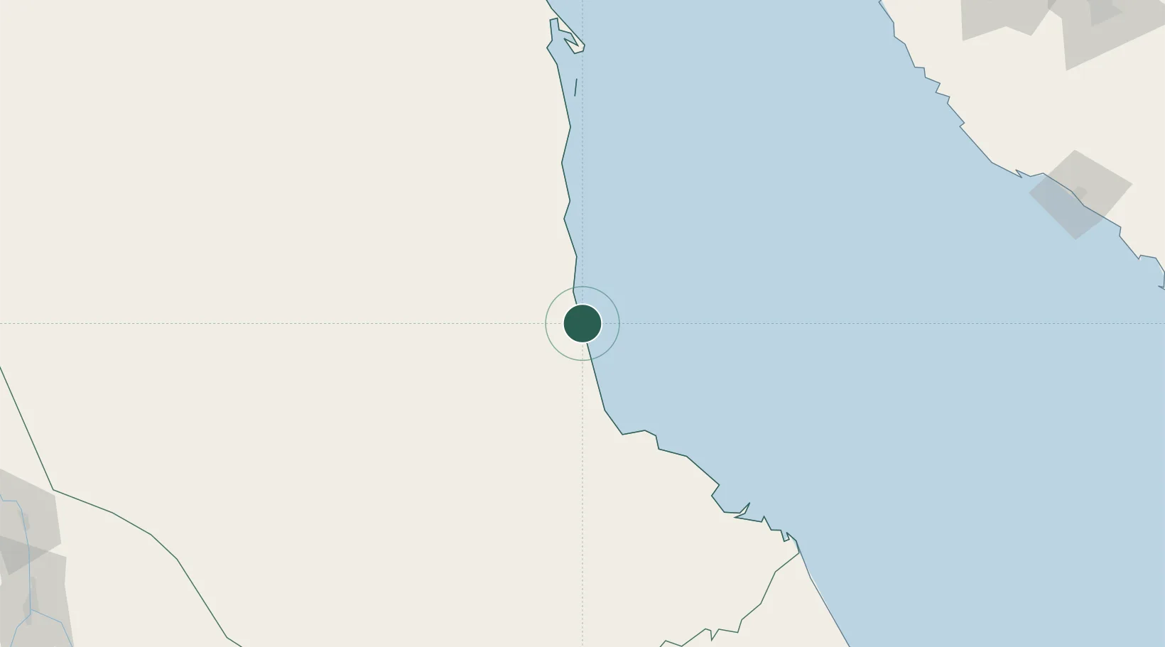
UN/LOCODE hub · Sudan
SDMBH

Marsa Bashayer

19.3833°, 37.3000°
1
Transport functions

Transport Functions

Port
UN/LOCODE

Location

Location of SDMBH
Natural Earth 10m (public domain) · Red Sea · SDMBH · 19.38, 37.30GoogleOSMYandex

Nearby Logistics Neighbours

Cities
  1. 1Port Sudan23 km
  2. 2Shuaibah273 km
  3. 3Jeddah294 km
  4. 4Tusdeer Free Zone303 km
  5. 5Jeddah Yachts Club Port314 km
Nearest neighbours — logibook spatial index (haversine) over the source coordinates
Ports
  1. 1Port Sudan25 km
  2. 2Sawakin Harbor28 km
  3. 3Jiddah305 km
  4. 4Rabigh411 km
  5. 5Mitsiwa Harbor478 km
Nearest neighbours — logibook spatial index (haversine) over the source coordinates
Airports
  1. 1Port Sudan New International Airport9 km
  2. 2King Faisal Naval Base293 km
  3. 3King Abdulaziz International Airport320 km
  4. 4Mecca East Airport362 km
  5. 5Taif International Airport411 km
Nearest neighbours — logibook spatial index (haversine) over the source coordinates
Trade Zones
  1. 1Red Sea Free Zone11 km
  2. 2Suakin Free Zone30 km
  3. 3Jeddah Industrial City (Second)279 km
  4. 4Jeddah Industrial City (Third)286 km
  5. 5Jeddah Industrial City (First)302 km
Nearest neighbours — logibook spatial index (haversine) over the source coordinates
DatabookThe Record of Consolidated Knowledge
Sudan beyond logistics?
Browse databook

All Sources

LocationsUN/LOCODE
UN/LOCODE — free
Portsthe NGA World Port Index
Public domain (US gov)
AirportsOurAirports
Public domain
Trade Zonesthe World Bank SEZ database
CC BY 4.0
Trade ZonesOpen Zone Map
CC BY
← Sudan locations