Runway & Layout

Airport Specifications
Airport class
Medium airport
Scheduled service
No
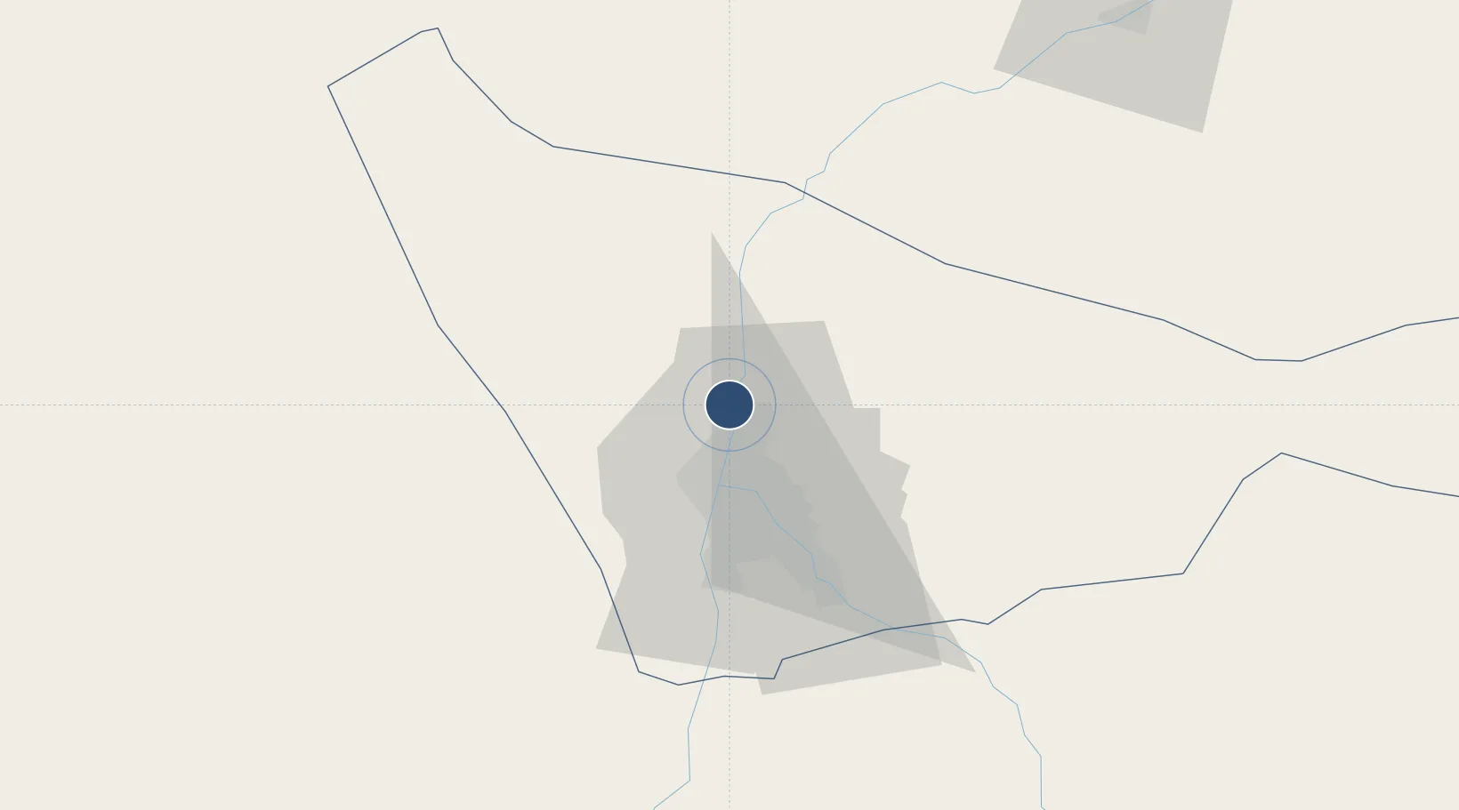
Served city
Karari al-Balad
Location
Nearby Logistics Neighbours
Airports
- 1Khartoum International Airport25 km
- 2Merowe Airport301 km
- 3El-Obeid Airport385 km
- 4Kassala Airport411 km
- 5Dongola Airport432 km
Cities
- 1Rabak297 km
- 2Marsa Bashayer644 km
- 3Port Sudan652 km
- 4Asmara690 km
- 5Massawa (Mitsiwa)743 km
Ports
- 1Sawakin Harbor632 km
- 2Port Sudan653 km
- 3Mitsiwa Harbor745 km
- 4Jiddah944 km
- 5Rabigh1026 km
Trade Zones
- 1Garri Free Zone26 km
- 2Kosti Free Zone299 km
- 3Al-Jabayn Free Zone360 km
- 4Mokhalif Free Zone370 km
- 5Gallabat Free Zone504 km
DatabookThe Record of Consolidated Knowledge
Sudan beyond logistics?