Medium airport · Sudan
Merowe AirportHSMN
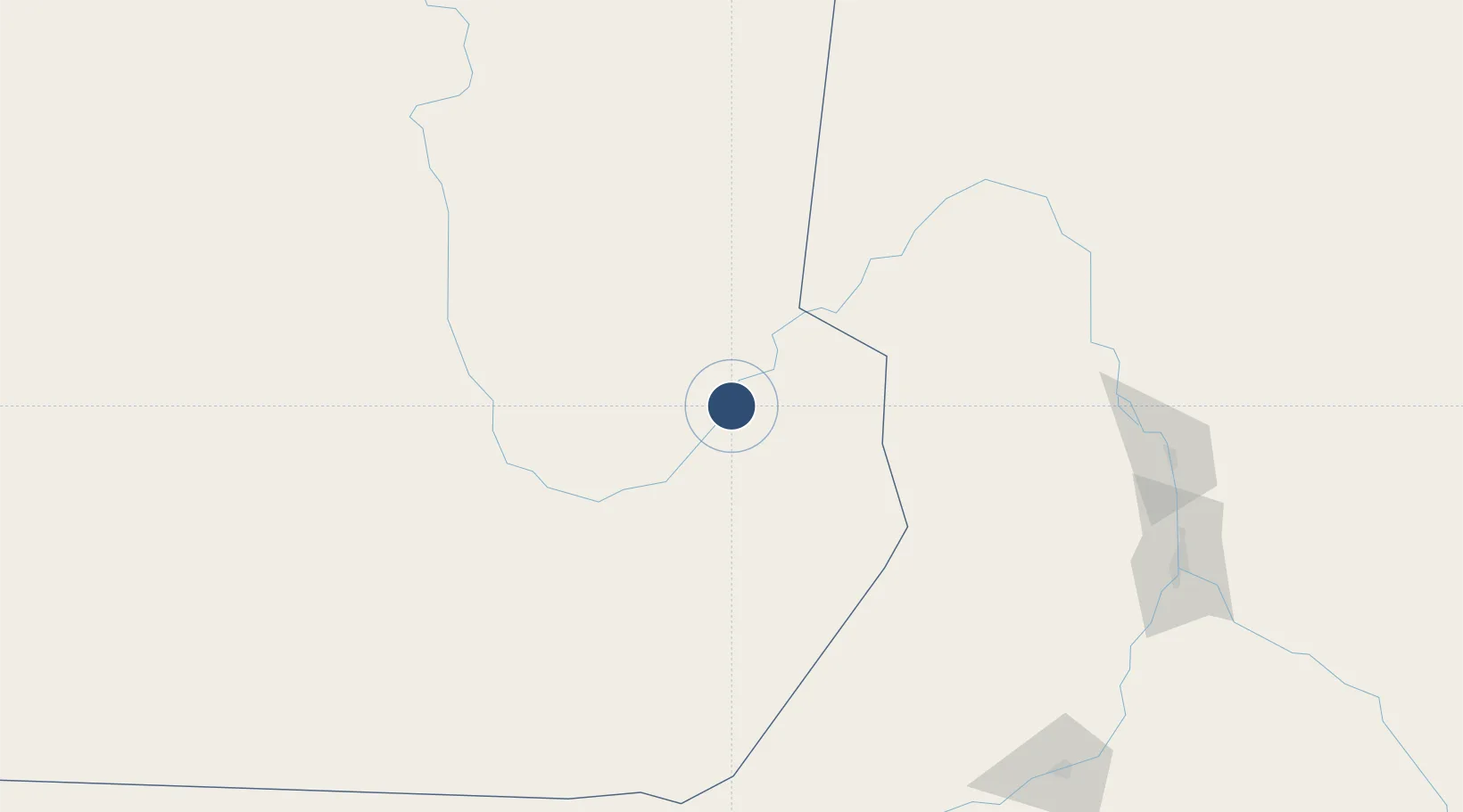
18.4433°, 31.8433°
13,186 ft
Longest runway
1
Runways
897 ft
Elevation
Runway & Layout

Radio Frequencies
TWR
118.4 MHz
Merowe Tower
Runways · 1
| Runway | Dimensions | Surface | True heading | Lit |
|---|---|---|---|---|
| 02/20 | 13,186 × 197ft | Asphalt | — | ✓ |
Airport Specifications
IATA code
MWE
ICAO code
HSMN
Airport class
Medium airport
Scheduled service
No
Runway surface
Asphalt
Served city
Merowe
Location
Nearby Logistics Neighbours
Airports
- 1Dongola Airport168 km
- 2Wadi Seidna Air Base301 km
- 3Khartoum International Airport326 km
- 4Abu Simbel Airport438 km
- 5Port Sudan New International Airport578 km
Cities
- 1Port Sudan580 km
- 2Marsa Bashayer583 km
- 3Rabak596 km
- 4Seshego653 km
- 5Abu Ghosoun753 km
Ports
- 1Port Sudan581 km
- 2Sawakin Harbor585 km
- 3Jiddah838 km
- 4Mitsiwa Harbor869 km
- 5Rabigh883 km
Trade Zones
- 1Garri Free Zone326 km
- 2Toshka New City487 km
- 3Red Sea Free Zone581 km
- 4Suakin Free Zone584 km
- 5Kosti Free Zone597 km
DatabookThe Record of Consolidated Knowledge
Sudan beyond logistics?