Medium airport · Sudan
Dongola AirportHSDN
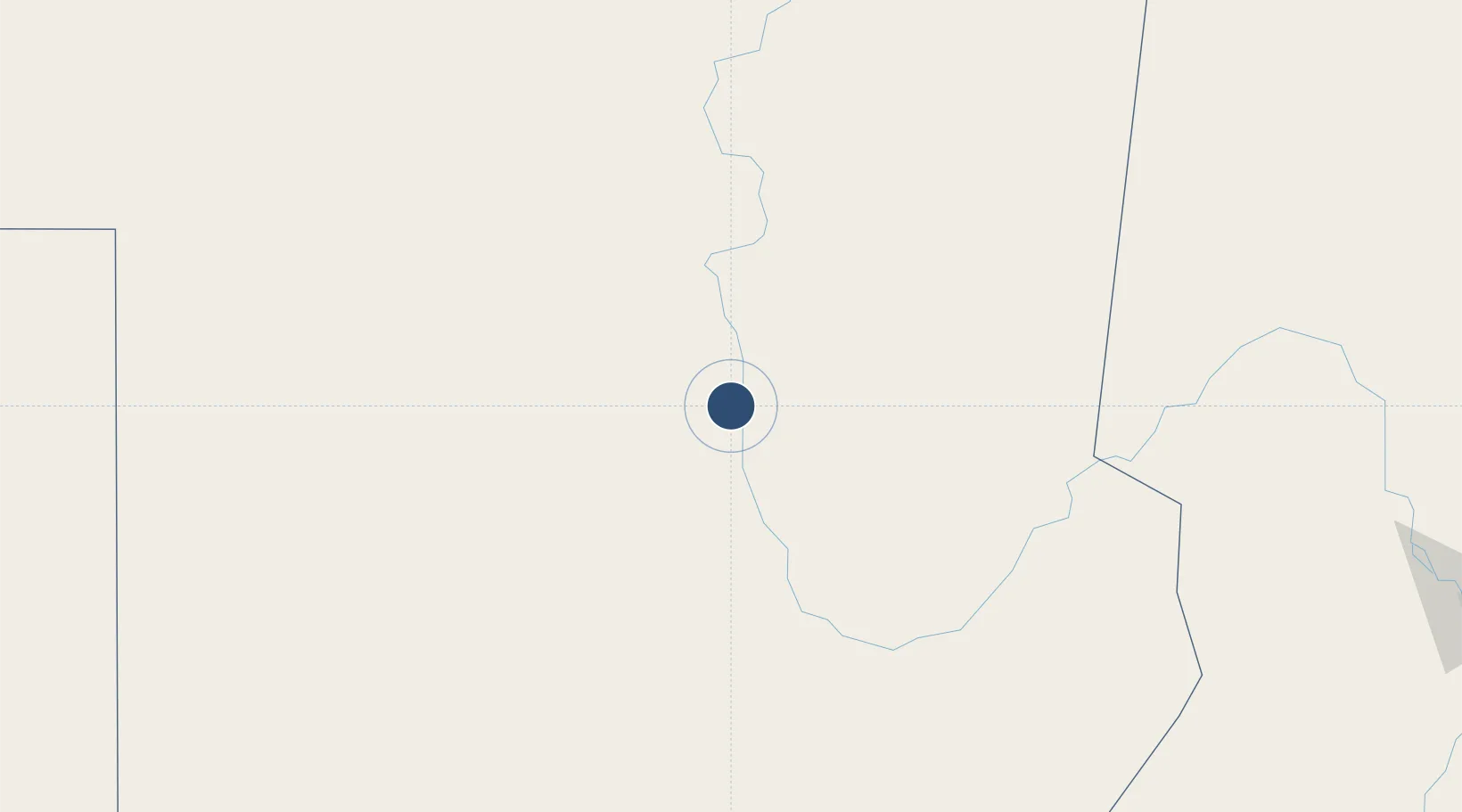
19.1537°, 30.4301°
9,843 ft
Longest runway
1
Runways
772 ft
Elevation
Runway & Layout

Radio Frequencies
TWR/APP
118.2 MHz
Dongola Tower
Navaids
DOG VOR-DME Dongola 112.30 MHz
Runways · 1
| Runway | Dimensions | Surface | True heading | Lit |
|---|---|---|---|---|
| 17/35 | 9,843 × 148ft | Asphalt | 173° | ✓ |
Airport Specifications
IATA code
DOG
ICAO code
HSDN
Airport class
Medium airport
Scheduled service
Yes
Runway surface
Asphalt
Served city
Dongola
Location
Nearby Logistics Neighbours
Airports
- 1Merowe Airport168 km
- 2Abu Simbel Airport379 km
- 3Wadi Seidna Air Base432 km
- 4Khartoum International Airport456 km
- 5Aswan International Airport589 km
Cities
- 1Seshego533 km
- 2Rabak711 km
- 3Port Sudan715 km
- 4Marsa Bashayer722 km
- 5Abu Ghosoun768 km
Ports
- 1Port Sudan715 km
- 2Sawakin Harbor727 km
- 3Al Qusayr868 km
- 4Hamrawein879 km
- 5Safaja917 km
Trade Zones
- 1Toshka New City421 km
- 2Garri Free Zone456 km
- 3Kosti Free Zone712 km
- 4Red Sea Free Zone720 km
- 5Esna Center Investment Zone720 km
DatabookThe Record of Consolidated Knowledge
Sudan beyond logistics?