Economic Revitalization Project · Egypt

Toshka New City Active
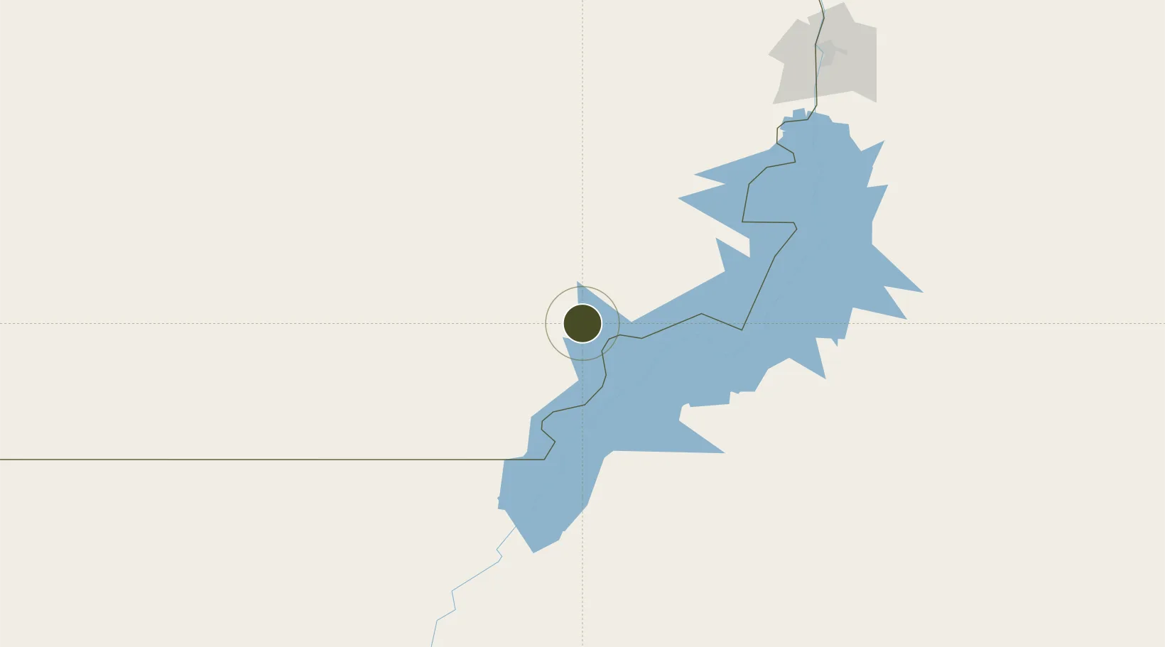
22.8128°, 31.4780°
1,203 ha
Zone area
462.8 km
Nearest port
50.6 km
Nearest airport

Gateway access

Nearest neighbours — logibook spatial index (haversine) over the source coordinates

Zone profile

Zone type
Economic Revitalization Project
Open Zone Map
Region
Al Wadi at Jadid
Open Zone Map
Status
Active
Open Zone Map
Management
Public
Open Zone Map
Operator
The Government of the Arab Republic of Egypt
Open Zone Map
Legal framework
Law No. 83 on Special Economic Zones
Open Zone Map

Location

Location of ozm-1865
Natural Earth 10m (public domain) · Al Wadi at Jadid · ozm-1865 · 22.81, 31.48GoogleOSMYandex

Nearby Logistics Neighbours

Ports
  1. 1Al Qusayr463 km
  2. 2Hamrawein471 km
  3. 3Safaja502 km
  4. 4El Ghardaqa545 km
  5. 5Zeit Bay Terminal598 km
Nearest neighbours — logibook spatial index (haversine) over the source coordinates
Airports
  1. 1Abu Simbel Airport51 km
  2. 2Aswan International Airport187 km
  3. 3Luxor International Airport341 km
  4. 4Sohag International Airport393 km
  5. 5Dongola Airport421 km
Nearest neighbours — logibook spatial index (haversine) over the source coordinates
Cities
  1. 1Seshego243 km
  2. 2Abu Ghosoun421 km
  3. 3Port Ghalib440 km
  4. 4Al Qusayr463 km
  5. 5Asyut487 km
Nearest neighbours — logibook spatial index (haversine) over the source coordinates
Trade Zones
  1. 1Esna Center Investment Zone300 km
  2. 2Qift (Keft) Free Zone368 km
  3. 3El-Kawthar District Industrial Zone424 km
  4. 4Technological Zone of Silicon Waha Company486 km
  5. 5Safaga Free Zone504 km
Nearest neighbours — logibook spatial index (haversine) over the source coordinates
DatabookThe Record of Consolidated Knowledge
Egypt beyond logistics?
Browse databook

All Sources

Trade ZonesOpen Zone Map
CC BY
Portsthe NGA World Port Index
Public domain (US gov)
AirportsOurAirports
Public domain
LocationsUN/LOCODE
UN/LOCODE — free
← Egypt trade zones