Large airport · Egypt

Abu Simbel AirportHEBL
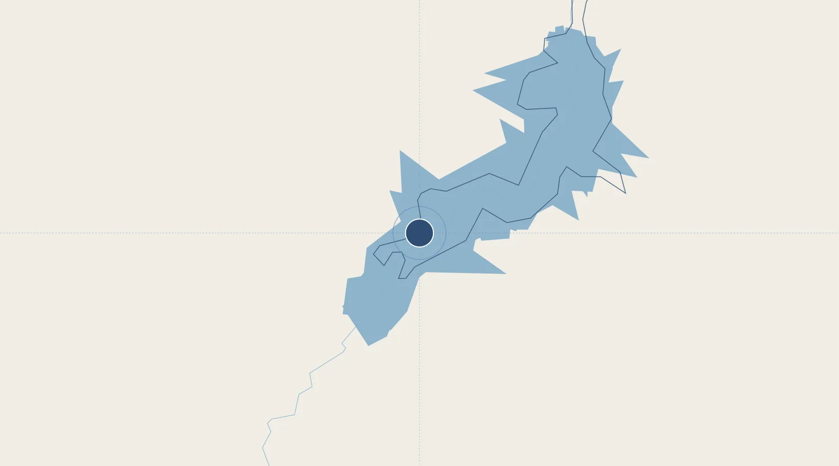
22.3744°, 31.6099°
9,843 ft
Longest runway
1
Runways
614 ft
Elevation

Runway & Layout

Abu Simbel Airport runway & taxiway layout
Runway & taxiway layout — OpenStreetMap (ODbL) / OurAirports

Radio Frequencies

TWR
118.1 MHz
TWR/APP
MISC
121.9 MHz
FIRE
RDO
585.9 MHz
OurAirports

Navaids

SML VOR-DME Abu Simbel 113.50 MHz
OurAirports

Runways · 1

RunwayDimensions SurfaceTrue headingLit
15/33 9,843 × 148ft Asphalt 150°
OurAirports

Airport Specifications

IATA code
ABS
OurAirports
ICAO code
HEBL
OurAirports
Airport class
Large airport
OurAirports
Scheduled service
Yes
OurAirports
Runway surface
Asphalt
OurAirports
Served city
Abu Simbel
OurAirports

Location

Location of HEBL
Natural Earth 10m (public domain) · Aswan · HEBL · 22.37, 31.61GoogleOSMYandex

Nearby Logistics Neighbours

Airports
  1. 1Aswan International Airport216 km
  2. 2Dongola Airport379 km
  3. 3Luxor International Airport383 km
  4. 4Berenice International Airport / Banas Cape Air Base432 km
  5. 5Merowe Airport438 km
Nearest neighbours — logibook spatial index (haversine) over the source coordinates
Cities
  1. 1Seshego281 km
  2. 2Abu Ghosoun433 km
  3. 3Port Ghalib467 km
  4. 4Al Qusayr495 km
  5. 5Asyut537 km
Nearest neighbours — logibook spatial index (haversine) over the source coordinates
Ports
  1. 1Al Qusayr495 km
  2. 2Hamrawein505 km
  3. 3Safaja539 km
  4. 4El Ghardaqa584 km
  5. 5Zeit Bay Terminal639 km
Nearest neighbours — logibook spatial index (haversine) over the source coordinates
Trade Zones
  1. 1Toshka New City51 km
  2. 2Esna Center Investment Zone342 km
  3. 3Qift (Keft) Free Zone410 km
  4. 4El-Kawthar District Industrial Zone471 km
  5. 5Technological Zone of Silicon Waha Company535 km
Nearest neighbours — logibook spatial index (haversine) over the source coordinates
DatabookThe Record of Consolidated Knowledge
Egypt beyond logistics?
Browse databook

All Sources

AirportsOurAirports
Public domain
Portsthe NGA World Port Index
Public domain (US gov)
LocationsUN/LOCODE
UN/LOCODE — free
Trade Zonesthe World Bank SEZ database
CC BY 4.0
Trade ZonesOpen Zone Map
CC BY
InfrastructureOpenStreetMap
ODbL 1.0
← Egypt airports