Free Zone · Sudan

Suakin Free Zone

19.1150°, 37.3445°
2.1 km
Nearest port
37.4 km
Nearest airport

Gateway access

Nearest neighbours — logibook spatial index (haversine) over the source coordinates

Zone profile

Zone type
Free Zone
the World Bank SEZ database
Region
Red Sea
the World Bank SEZ database
Established
2000
the World Bank SEZ database
Management
State-owned enterprise
the World Bank SEZ database
Operator
Sudan Free Zones and Market Company Ltd.
the World Bank SEZ database
Regulatory authority
Ministry of Investment
the World Bank SEZ database
Legal framework
Free Zones and Free Markets Law
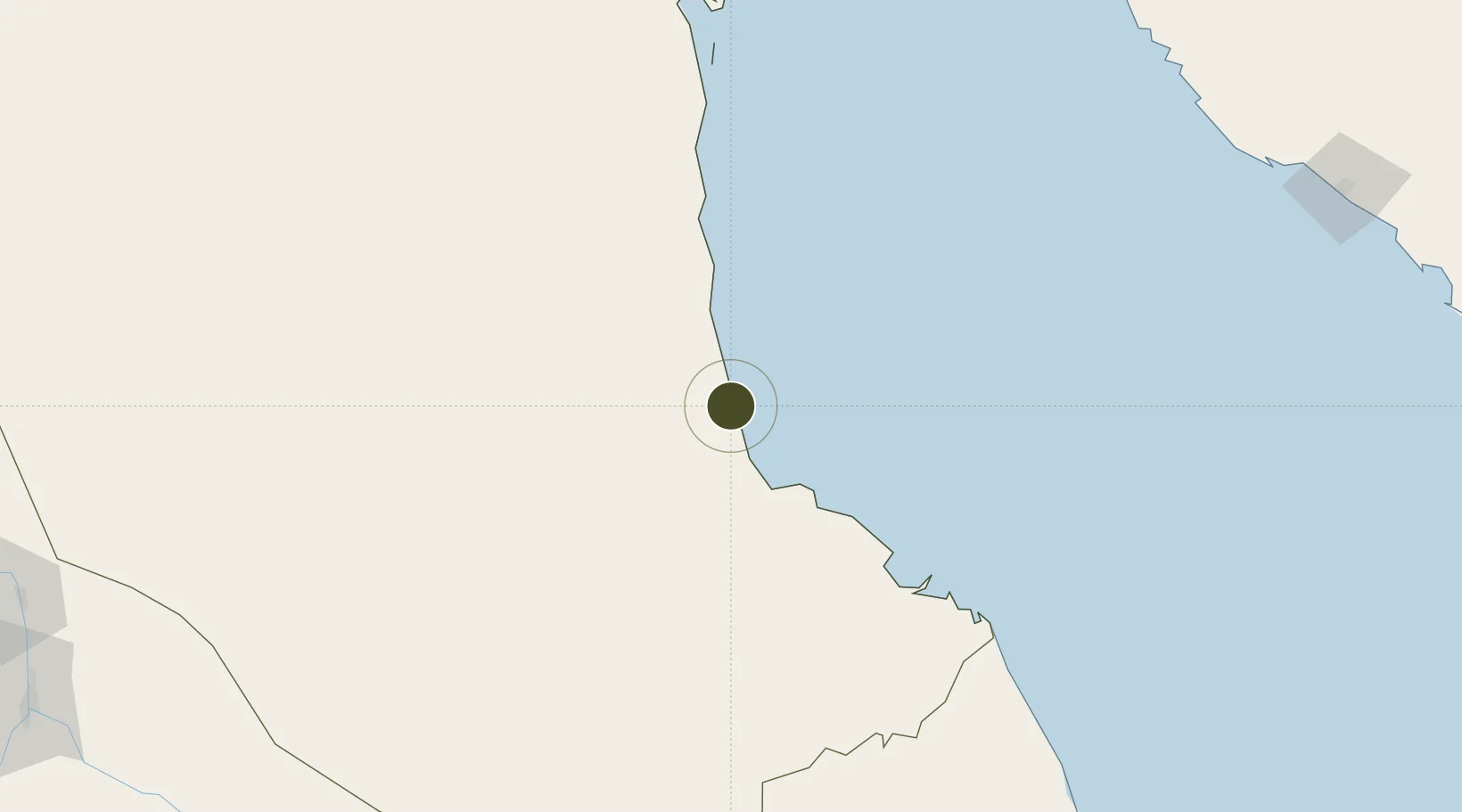
the World Bank SEZ database

Location

Location of SDN1
Natural Earth 10m (public domain) · Red Sea · SDN1 · 19.11, 37.34GoogleOSMYandex

Fiscal & incentives

Corporate tax
35%
the World Bank SEZ database
Tax relief
100% exempt
the World Bank SEZ database
Relief duration
15 years
the World Bank SEZ database
VAT
No exemption
the World Bank SEZ database
Import duty (inputs)
100% exempt
the World Bank SEZ database
Import duty (capex)
100% exempt
the World Bank SEZ database
Profit repatriation
100% exempt from repatriation tax on profits
the World Bank SEZ database
Capital gains
No exemption
the World Bank SEZ database
Withholding tax
100% exempt from personal income tax
the World Bank SEZ database
Min. investment
None
the World Bank SEZ database
Min. export
0%
the World Bank SEZ database
Employment incentive
No exemption
the World Bank SEZ database
Developer incentive
No established framework
the World Bank SEZ database

Nearby Logistics Neighbours

Ports
  1. 1Sawakin Harbor2 km
  2. 2Port Sudan55 km
  3. 3Jiddah326 km
  4. 4Rabigh437 km
  5. 5Mitsiwa Harbor450 km
Nearest neighbours — logibook spatial index (haversine) over the source coordinates
Airports
  1. 1Port Sudan New International Airport37 km
  2. 2King Faisal Naval Base313 km
  3. 3King Abdulaziz International Airport342 km
  4. 4Mecca East Airport378 km
  5. 5Taif International Airport425 km
Nearest neighbours — logibook spatial index (haversine) over the source coordinates
Cities
  1. 1Marsa Bashayer30 km
  2. 2Port Sudan53 km
  3. 3Shuaibah286 km
  4. 4Jeddah315 km
  5. 5Tusdeer Free Zone324 km
Nearest neighbours — logibook spatial index (haversine) over the source coordinates
Trade Zones
  1. 1Red Sea Free Zone20 km
  2. 2Jeddah Industrial City (Second)297 km
  3. 3Jeddah Industrial City (Third)304 km
  4. 4Jeddah Industrial City (First)323 km
  5. 5Makkah Industrial City367 km
Nearest neighbours — logibook spatial index (haversine) over the source coordinates
DatabookThe Record of Consolidated Knowledge
Sudan beyond logistics?
Browse databook

All Sources

Trade Zonesthe World Bank SEZ database
CC BY 4.0
Portsthe NGA World Port Index
Public domain (US gov)
AirportsOurAirports
Public domain
LocationsUN/LOCODE
UN/LOCODE — free
← Sudan trade zones